Wingletang Down, Protected natural area in St Agnes, Isles of Scilly, England
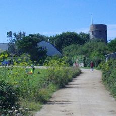
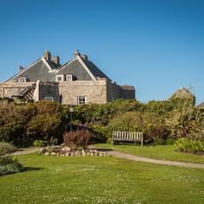
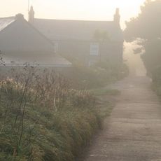
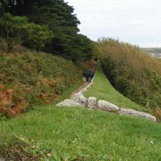
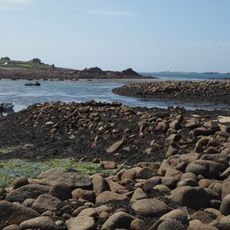
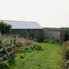
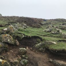
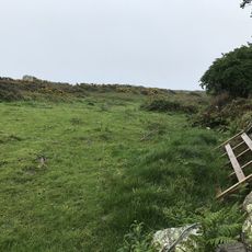
Wingletang Down is a protected natural area on the island of St Agnes in the Isles of Scilly, covering roughly 29 hectares of maritime heath and dune grassland. The site rises to about 20 meters above sea level and features multiple ecological zones that visitors can explore on foot.
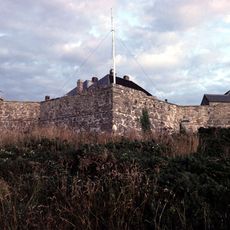
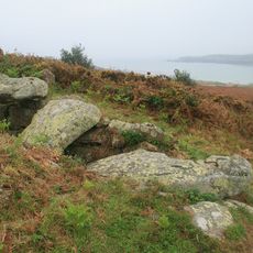
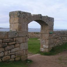
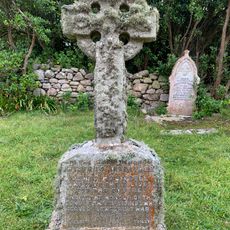
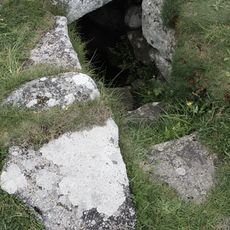
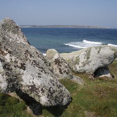
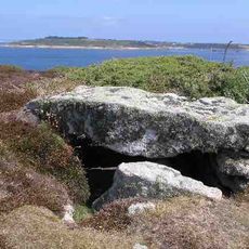
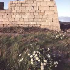
The site dates back to the Bronze Age and contains 43 burial cairns with granite kerbstones and interconnected hedgerows from thousands of years ago. These archaeological features provide insight into early settlement patterns on the islands.
Saint Warna's stone-lined well on the western side reflects local maritime traditions, where people historically left offerings to influence weather conditions for navigation at sea. These practices reveal how the community understood its relationship with the ocean and the forces that shaped daily life.
The site is accessible to visitors with walking paths crossing various ecological zones and managed by the Isles of Scilly Wildlife Trust. Sturdy footwear is recommended since the terrain is open land where weather can change quickly.
This is the only place in Great Britain and Ireland where the rare adder's-tongue fern naturally occurs, discovered here in 1950. This plant species is extremely scarce across western Europe and makes the site especially valuable to botanists.
The community of curious travelers
AroundUs brings together thousands of curated places, local tips, and hidden gems, enriched daily by 60,000 contributors worldwide.