Beinn a' Chaolais, Mountain summit in Argyll and Bute, Scotland
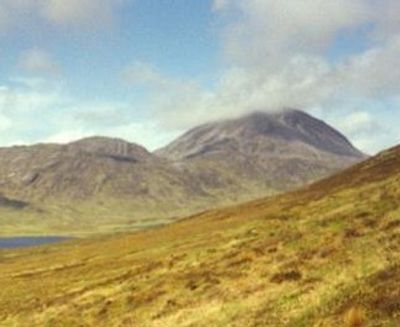
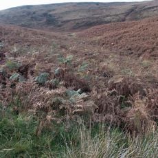
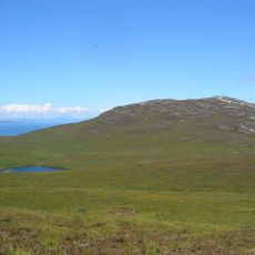
Beinn a' Chaolais is a mountain in Argyll and Bute that rises to approximately 730 meters, with slopes covered in scree and a distinctive cone shape. The upper reaches feature open grassland mixed with rocky ground typical of Scottish mountain terrain.
The mountain was formed millions of years ago through tectonic processes that shaped the Scottish Highlands and created the landscape visible today. This geological history is part of the broader formation of the entire Highland region.
The name comes from Scottish Gaelic and means 'Hill of the Narrows', reflecting how Highland communities named their landscape features. This linguistic heritage shows how the Gaelic language shaped the way people described their surroundings.
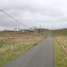
The mountain is accessible on foot via several routes that begin from local trails and paths, with approaches varying in difficulty. Visitors should expect changeable weather and wet ground, particularly on the upper sections where exposed terrain is common.
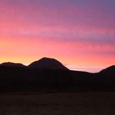
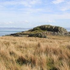
The mountain is part of the Paps of Jura range alongside two other peaks that create a striking silhouette visible from distant viewpoints across the region. This grouping makes the three summits recognizable as a natural landmark formation.
The community of curious travelers
AroundUs brings together thousands of curated places, local tips, and hidden gems, enriched daily by 60,000 contributors worldwide.