Uxbridge, Market town in west Greater London, England
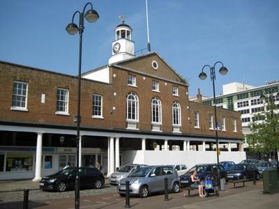
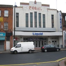
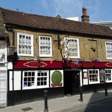
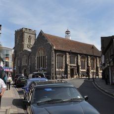
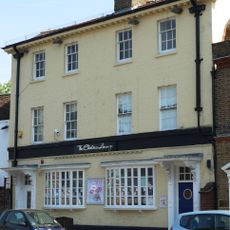
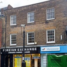
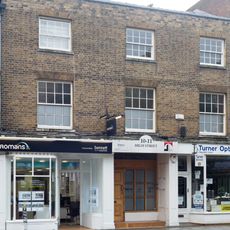
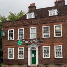
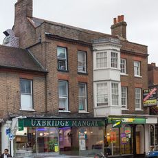
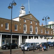
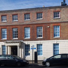
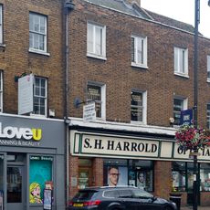
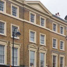
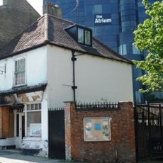
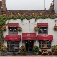
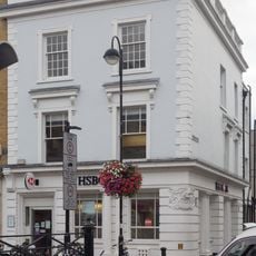
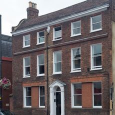
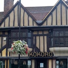
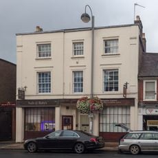
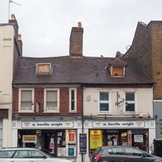
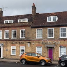
Uxbridge is a market town in the western part of Greater London within the Borough of Hillingdon, stretching along the Grand Union Canal and interwoven with residential neighborhoods and shopping streets. The center consists of a long high street lined with shops, cafes and public buildings, while side streets lead to older housing areas and green spaces.
The settlement grew in the Middle Ages at a ford over the River Colne and developed as a trading post on the route to Oxford. During the Civil War in the 17th century, representatives of the Crown and Parliament met here to negotiate a ceasefire.
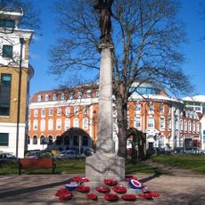
The place sits at the crossing of old trade routes, and its name likely comes from an Anglo-Saxon tribe that settled here. Today the central market serves as a meeting point and is regularly used for local events that bring together residents from the surrounding neighborhoods.
The station at the western end of the underground lines makes the place easy to reach and offers connections to several bus routes serving the surrounding suburbs. The pedestrian zone in the center is laid out on ground level and easy to walk through, while parking areas are available on the edge of the town center.
Below a former military site lies a bunker from World War II that served as the command center for air defense and remains preserved in its original condition to this day. Visitors can tour the underground operations room with its original equipment, where air battles over southern England were coordinated.
The community of curious travelers
AroundUs brings together thousands of curated places, local tips, and hidden gems, enriched daily by 60,000 contributors worldwide.