
Woodford, village in Greater Manchester, United Kingdom
Location: Stockport
Shares border with: Bramhall
GPS coordinates: 53.33900,-2.15600
Latest update: March 6, 2025 04:23


Mottram Hall
3.3 km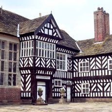
Adlington Hall
2.2 km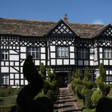
Handforth Hall
3.5 km
St George's Church, Poynton
2.5 km
Dean Row Chapel, Wilmslow
2.8 km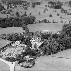
Bonis Hall
3.6 km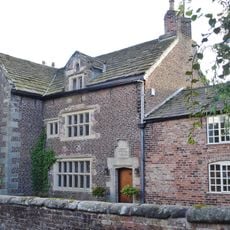
New Hall, Woodford
1 km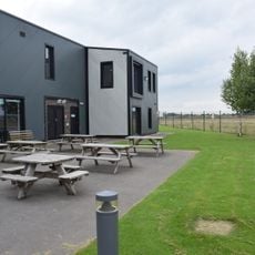
Avro Heritage Museum
472 m
Christ Church
1.2 km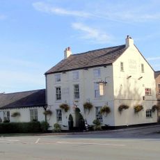
Legh Arms Public House
2.5 km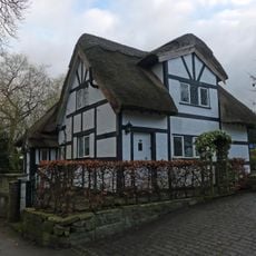
Benja Cottage, Benja Fold
2.4 km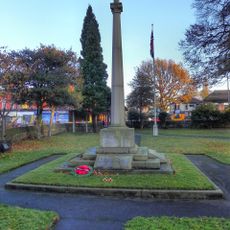
Poynton War Memorial
2.5 km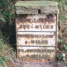
Milestone 125 Metres North Of Street Lane Farmhouse
1.7 km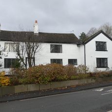
Old Timbers
2.7 km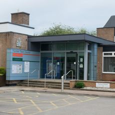
Poynton Library
2.8 km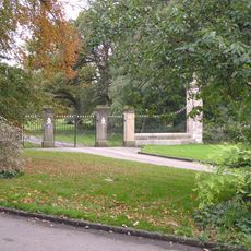
Gate piers, wing walls and gates to Adlington Hall on East Approach
2.4 km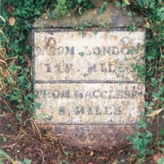
Milestone, 110 metres north of junction with Anglesea Drive
3.6 km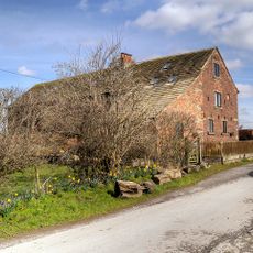
Barn to north east of Old Hall Farm
1 km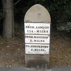
Milestone 25 metres south of Redcroft
2.4 km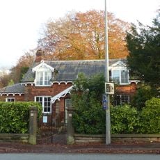
44 and 46, London Road North
2.8 km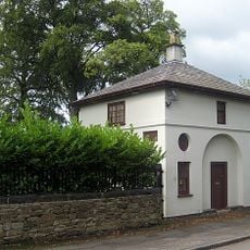
50, London Road North
2.9 km
Mottram Hall Farmhouse
3.6 km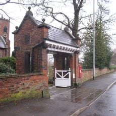
Lychgate at Christ Church
1.2 km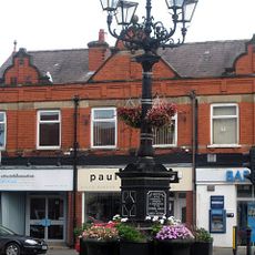
Guide Post, 18 Metres North Of Church Lych Gate
2.5 km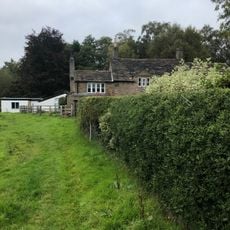
Wards End Old Farm
3.1 km
Newton Hall Farmhouse
2.5 km
Tig House
2.4 km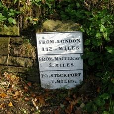
Milestone, London Road, Adlington
2.4 kmVisited this place? Tap the stars to rate it and share your experience / photos with the community! Try now! You can cancel it anytime.
Discover hidden gems everywhere you go!
From secret cafés to breathtaking viewpoints, skip the crowded tourist spots and find places that match your style. Our app makes it easy with voice search, smart filtering, route optimization, and insider tips from travelers worldwide. Download now for the complete mobile experience.

A unique approach to discovering new places❞
— Le Figaro
All the places worth exploring❞
— France Info
A tailor-made excursion in just a few clicks❞
— 20 Minutes