Chest opened
+${chestReward.xp} XP
Explorer
NOUVEAU ×${chestReward.collectible.quantity}
tapez pour fermer

See the monuments around you in AR Open chests in the app

Around Us is built for your phone — point your camera at the streets and discover the monuments and places around you in augmented reality. Around Us is built for your phone — chests unlock when you walk, explore and capture nearby places.

Enable Location

We need your location to show you interesting places around you

Discover nearby places

Find interesting locations and hidden gems around you

Precise directions

Get accurate directions and distances to places

Your location is never shared with other users. It's only used when you tap the location button.

Maia Roman Fort

Log in to your account

Start exploring — it's free

Trusted by 85,860 travelers worldwide

Continue with Google
Continue with Apple
or

We will send you a code to connect

By continuing, you accept our Terms and Conditions and our Privacy Policy

Check your inbox

We've sent a pincode in your inbox. Please enter the code below.

Maia Roman Fort
Discussion Reviews 1 Photos
6.4k Popularity

Maia Roman Fort, Roman fort ruins in Bowness-on-Solway, England

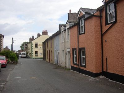
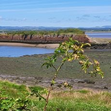
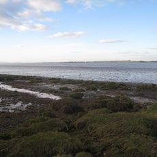
Maia Roman Fort consists of stone remains of a Roman fort stretched across a high promontory overlooking the Solway Firth toward Scotland. The archaeological site lies buried beneath the modern village, so surface exploration relies on interpretive signs and surveyed evidence.

The fort began as a wooden structure and was later rebuilt in stone, serving as an anchor for both trade and military operations in the north. It marked the western terminus of a major defensive line that stretched east for many kilometers.

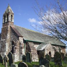
Local people repurposed the fort's stones to build structures in Bowness-on-Solway, including the Norman church of St Michael, and you can still spot Roman material in village walls. This shows how the site shaped the settlement's physical development over time.

The fort lies buried beneath the village, so direct access to the remains is limited and you cannot walk freely through the site. Information panels around the village help you understand what once stood here and where the main structures lay.

A garrison of roughly 800 soldiers once monitored the sea routes and land passages between Roman Britain and unconquered territory to the north. This strategic location made it vital for controlling movement and communication across the frontier zone.

The community of curious travelers

AroundUs brings together thousands of curated places, local tips, and hidden gems, enriched daily by 60,000 contributors worldwide.
Start exploring
Location
Part of
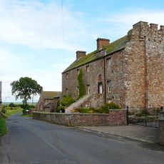
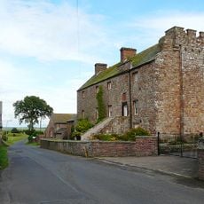
Hadrian's Wall, The Roman fort and associated civil settlement and a medieval tower house at Bowness on Solway at the west end of Hadrian's Wall in wall mile 80
GPS coordinates
54.95170,-3.21604
Latest update
August 30, 2026 10:42
Around this place
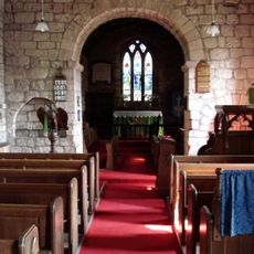
St Michael's Church
United Kingdom

St Michael's Church

0.1 mi
United Kingdom

Milefortlet 1

1 mi
Milecastle 79
United Kingdom

Milecastle 79

0.9 mi
Milecastle 80
United Kingdom

Milecastle 80

480 ft
United Kingdom

Milecastle 78

1.6 mi
United Kingdom

Milefortlet 3

2.6 mi
United Kingdom

Milecastle 77

2.4 mi
Annan, Church Street, Old Parish Church
United Kingdom

Annan, Church Street, Old Parish Church

3 mi
5–9 High Street, Annan
United Kingdom

5–9 High Street, Annan

3.1 mi
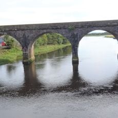
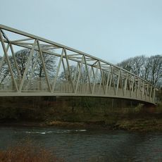
Solway Viaduct
United Kingdom

Solway Viaduct

1 mi
United Kingdom

Annan, Port Street Viaduct

3.1 mi
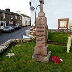
Bowness on Solway War Memorial
United Kingdom

Bowness on Solway War Memorial

460 ft
United Kingdom

Pasture House turret 3a

2.9 mi
United Kingdom

Hadrian's Wall north of Kirkland House, Port Carlisle in wall mile 78

1.4 mi
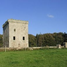
Former House To East Of Bowness House Farmhouse
United Kingdom

Former House To East Of Bowness House Farmhouse

0.1 mi
United Kingdom

Hadrian's Wall between Port Carlisle and Bowness-on-Solway in wall miles 78 and 79

0.6 mi
United Kingdom

Hadrian's Wall and vallum between the access road to Glendale caravan park and the track south of Kirkland House in wall miles 7

1.5 mi
United Kingdom

Drumburgh Roman fort and Hadrian's Wall between Burgh Marsh and Westfield House in wall miles 76 and 77

2.7 mi
Campfield Marsh RSPB reserve
United Kingdom

Campfield Marsh RSPB reserve

1.7 mi
United Kingdom

Hadrian's Wall vallum between the watercourse 400m south east of Glasson and the access road to Glendale caravan park in wall mi

2.2 mi
Bowder House
United Kingdom

Bowder House

430 ft
United Kingdom

Dornock Mains

2.1 mi
United Kingdom

Campfield and associated parallel ditches and Roman road, 350m south west of Campfield Farm part of Roman frontier defences along Cumbrian coast

2.3 mi
United Kingdom

Hadrian's Wall between the dismantled railway and the access road to Glendale caravan park in wall mile 77

1.8 mi
United Kingdom

The Devil’s Porridge Museum

3 mi
United Kingdom

Hadrian's Wall between Apple Garth, Westfield, and the dismantled railway in wall mile 77

1.9 mi
United Kingdom

0-6-0 Fireless Loco 'Sir James'

3 mi
United Kingdom

Bench, scenic viewpoint

2.7 mi
Show the full map
Reviews
Share your experience

No review yet

Discussions
Start a discussion...

No discussion yet

« Maia Roman Fort - Roman fort ruins in Bowness-on-Solway, England » is provided by Around Us (aroundus.com). Images and texts are derived from Wikimedia project under a Creative Commons license. You are allowed to copy, distribute, and modify copies of this page, under the conditions set by the license, as long as this note is clearly visible.

Discover hidden gems everywhere you go!

From secret cafés to breathtaking viewpoints, skip the crowded tourist spots and find places that match your style. Our app makes it easy with voice search, smart filtering, route optimization, and insider tips from travelers worldwide. Download now for the complete mobile experience.

Around Us App Screenshot

A unique approach to discovering new places

Le Figaro

All the places worth exploring

France Info

A tailor-made excursion in just a few clicks

20 Minutes

Around Us
Travel Guide & Maps
Download

Send to your phone

QR Code
1

Open the camera app on your mobile.

2

Point at the QR code with your camera. A notification will appear.

3

Tap the notification to open the link.