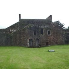
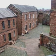
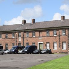
Petriana, Roman fort at Stanwix, Carlisle, England.
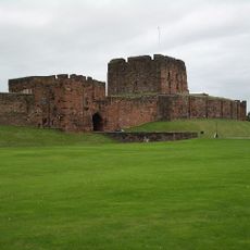
Petriana was a Roman fort at Stanwix near Carlisle that occupied six acres and featured multiple gates designed for rapid cavalry movement. The site contained barracks, storehouses, and administrative buildings arranged in the typical layout of a military garrison.
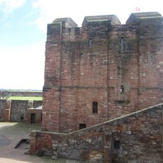
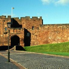
The fort was initially built with earthen ramparts around 122 CE as a base for Hadrian's Wall. After temporary abandonment, it underwent reconstruction into permanent stone structures starting in 165 CE.
The Ala Gallorum Petriana cavalry unit, recruited from Gaul, maintained a long-term military presence that shaped daily life at this location. Their continued stationing made Stanwix a key defense point on Rome's northern frontier.
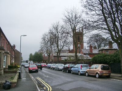
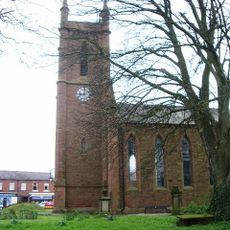
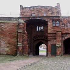
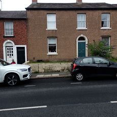
The remains lie partly beneath Saint Michael's churchyard and are not freely accessible as an open site. Sections of the ramparts and towers have been revealed through excavations that continue to uncover new details.
Excavations in 2017 uncovered a bathhouse with inscriptions dedicated to the Empress Julia Domna and gemstones left behind by Roman visitors. This discovery reveals that people at the fort left personal items and mementos during their time there.
Part of: Hadrian's Wall
GPS coordinates: 54.90500,-2.94200
Latest update: December 12, 2025 07:55
Carlisle Castle
869 m
Carlisle Civic Centre
957 m
Church of St Michael
451 m
Statue of Queen Victoria
786 m
West City Walls and Tile Tower adjoining at south-west
987 m
Eden Bridge
638 m
Outer Bailey Half Moon Battery, Flanking Wall And Bridge
869 m
Creighton Memorial
864 m
3 And 5, Fisher Street
978 m
Bridge Over Outer Moat
924 m
Captains Tower And Inner Bailey Walls
869 m
14 And 16, Etterby Street
241 m
Inner Bailey Keep
882 m
De Irebys Tower And Outer Bailey Wall
913 m
4, 6 And 8, Fisher Street
974 m
Outer Bailey Arnhem Block
813 m
Inner Bailey Palace Range Including Part Of Queen Mary's Tower
873 m
22 And 24, Etterby Street
216 m
1, Fisher Street
971 m
12, Etterby Street
247 m
Outer Bailey Arroyo Block, Gym And Regimental Association Club
825 m
6 And 8, Etterby Street
262 m
9, Fisher Street
1 km
11, Fisher Street
1 km
10, Etterby Street
258 m
City Boundary Stone At Ny 3993 5645
693 m
Milestone, by Stanwix Bank House
427 m
Milestone, Brampton Road opp. sports fields
862 mVisited this place? Tap the stars to rate it and share your experience / photos with the community! Try now! You can cancel it anytime.
Discover hidden gems everywhere you go!
From secret cafés to breathtaking viewpoints, skip the crowded tourist spots and find places that match your style. Our app makes it easy with voice search, smart filtering, route optimization, and insider tips from travelers worldwide. Download now for the complete mobile experience.
A unique approach to discovering new places❞
— Le Figaro
All the places worth exploring❞
— France Info
A tailor-made excursion in just a few clicks❞
— 20 Minutes