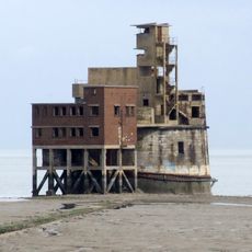
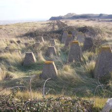
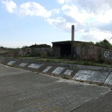
Grain Fort, Victorian coastal fort in Isle of Grain, England
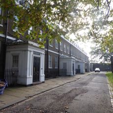
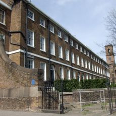
Grain Fort is a heptagonal fortification on the Isle of Grain with a distinctive D-shaped keep and dry ditches surrounding it. Gun emplacements and counterscarp galleries were positioned around the perimeter to defend against approaching threats from the water.
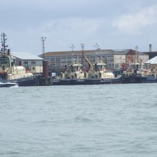
The fort was built between 1861 and 1868 during tensions with France to protect the strategic confluence where the Thames and Medway rivers meet. It served as a coastal defense position for over a century before being decommissioned in 1956.
The structure represents a significant example of 19th-century British military engineering, demonstrating period-specific defensive architecture and strategic coastal planning.
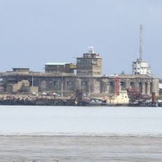
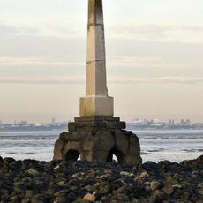
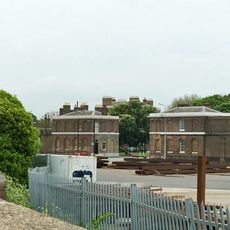
The fort sits within the Isle of Grain Coastal Park where visitors can explore the remaining brick structures and earthwork formations. Most of the above-ground buildings were demolished in the 1960s, so visitors primarily see foundations and ramparts today.
Underground tunnels discovered in 1998 lie beneath the fort and contain preserved military features such as a cartridge lift and a large magazine. These hidden chambers reveal the technical sophistication that remained concealed beneath the surface for more than a century.
Location: Kent
Inception: 1861
Part of: Chatham Palmerston Forts
GPS coordinates: 51.45720,0.71970
Latest update: December 8, 2025 19:58
Grain Tower
1 km
Garrison Point Fort
2.1 km
Queenborough Castle
5 km
Great Mill
3.6 km
Shed No. 78
2.3 km
Town Hall
4.7 km
The Hogarth Inn
436 m
The Criterion Blue Town
2.6 km
Church of St James
227 m
Roman Catholic Church of St Henry and St Elizabeth
3.8 km
Parish Church of the Holy Trinity
4.7 km
Parish Church of the Holy Trinity
3.6 km
The London Stone, Yantlet Creek
3.5 km
Sheerness War Memorial
3.2 km
Monument To Greet Family In Churchyard Of Holy Trinity Parish Church
4.7 km
Red Lion Public House
2.7 km
World War Ii Anti-Tank Obstacles On The Foreshore
917 m
Former Royal Dockyard Church And Attached Wall And Railings
2.8 km
Remains Of Windmill In Grounds Of Seaview Hotel
3.8 km
King William Lion Monument To West Of Medway Port Authority Offices
2.7 km
Coastal artillery defences on the Isle of Grain, immediately east and south east of Grain village
442 m
North Gate House
2.6 km
Railings To South Side Of Green To East Of Naval Terrace
2.9 km
Clock Tower
3.5 km
Queenborough Lines
4.2 km
Grain Crossing Signal Box
3 km
Numbers 1 To 15 And Attached Railings
2.8 km
Numbers 1 To 8 Attached Basement Railings, Walls, Coach House And Stables
2.9 kmVisited this place? Tap the stars to rate it and share your experience / photos with the community! Try now! You can cancel it anytime.
Discover hidden gems everywhere you go!
From secret cafés to breathtaking viewpoints, skip the crowded tourist spots and find places that match your style. Our app makes it easy with voice search, smart filtering, route optimization, and insider tips from travelers worldwide. Download now for the complete mobile experience.
A unique approach to discovering new places❞
— Le Figaro
All the places worth exploring❞
— France Info
A tailor-made excursion in just a few clicks❞
— 20 Minutes