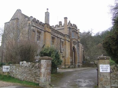
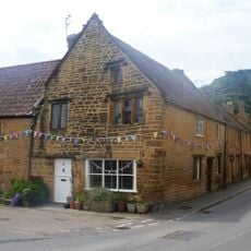
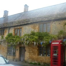
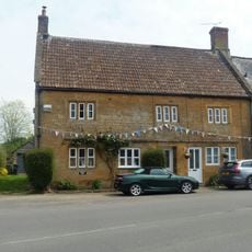
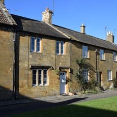
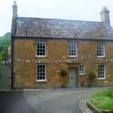
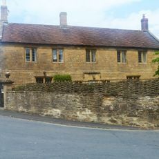
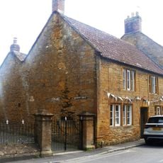
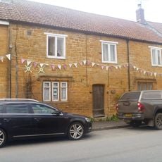
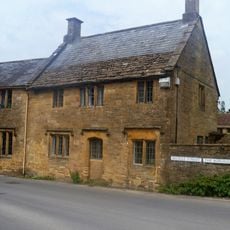
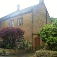
Abbey Farmhouse, Montacute, Grade I listed farmhouse in Montacute, England.
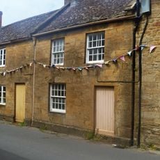
Abbey Farmhouse is a sixteenth century farmhouse in Montacute that incorporates parts of a medieval priory into its structure. The building displays architecture from different periods and preserves these remains in stone.
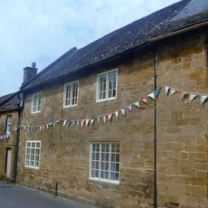
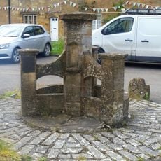
The original Montacute Priory was founded during the medieval period and existed until it was dissolved during the Reformation. After this time, the gateway and parts of the building were transformed into a dwelling, which still shows these old elements today.
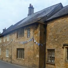
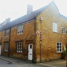
Inside the house you can see a gateway from the medieval period, which reminds you of the time when a monastery stood here. The rooms combine old stone elements with parts added later, so you can see the layers of history even today.
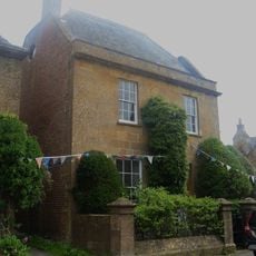
The house sits at the corner of Abbey Lane and the Monarch's Way footpath, where you find traditional walking routes. Access to surrounding areas comes through these established paths, which also lead to Ham Hill Country Park.
The building was created during the time when monasteries in England were being dissolved, and it reused the stones and structures of the former priory. This reuse shows how people in the past adapted available materials and spaces to create new homes.
Location: Montacute
GPS coordinates: 50.94830,-2.71944
Latest update: December 14, 2025 18:01
Montacute Castle
270 m
Church of St Catherine, Montacute
202 m
The Kings Arms Inn
217 m
House On Corner Of The Borough The Tudor Rose Tea Room
282 m
Post Office and K6 telephone call box adjoining
272 m
Phelips Arms Hotel
314 m
Abbey Gate
166 m
23 And 24, The Borough
271 m
7 And 8, The Borough
312 m
Priory Dovecote, About 90 Metres East South East Of Abbey Farmhouse
162 m
6, The Borough
319 m
1, South Street
304 m
22, The Borough
265 m
No 21 And Linking Wall To South
259 m
The Old Vicarage And Adjacent Gateway And Boundary Wall
239 m
5 And 6, South Street
294 m
29 And 30, Bishopston
295 m
10, Middle Street
273 m
10A, Middle Street
275 m
11A, Middle Street
282 m
13, Middle Street
299 m
The Two Houses Immediately West Of, And Attached To No 27 The Borough
272 m
No 2, And Front Boundary Railings
302 m
3, Townsend
263 m
Drinking Fountain
291 m
Tower On St Michaels Hill
282 m
No 50, With Front Boundary Railings And North Wing Wall
197 m
7, 8 And 9, South Street
297 mVisited this place? Tap the stars to rate it and share your experience / photos with the community! Try now! You can cancel it anytime.
Discover hidden gems everywhere you go!
From secret cafés to breathtaking viewpoints, skip the crowded tourist spots and find places that match your style. Our app makes it easy with voice search, smart filtering, route optimization, and insider tips from travelers worldwide. Download now for the complete mobile experience.
A unique approach to discovering new places❞
— Le Figaro
All the places worth exploring❞
— France Info
A tailor-made excursion in just a few clicks❞
— 20 Minutes