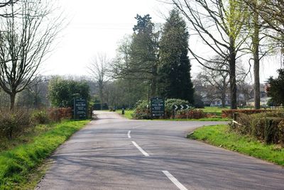
Alice Holt Research Station, Forestry research center in Surrey, United Kingdom.
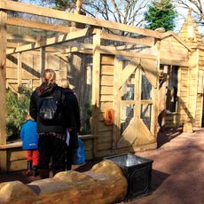
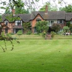
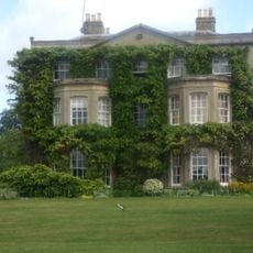
Alice Holt Research Station is a forestry research facility in Surrey that contains laboratory buildings, seed storage areas, and experimental forest plots. The site provides extensive test areas where various forestry techniques and tree species are studied under natural conditions.
The research station was established in 1946 and quickly became a center for British forest research and management. Over the following decades, the work expanded to focus on disease prevention and sustainable forestry practices.
The station serves as a hub where forestry experts from different countries collaborate on shared woodland challenges and knowledge. Visitors can observe how different tree species are managed and learn about techniques used to care for forests today.
The facility is easily accessible by car with parking available on site, while train visitors can use the nearby railway station. The best time to visit is during warmer months when forest paths are easier to walk.
The center maintains a substantial seed archive that preserves millions of seeds from various conifers and other tree species for future forest regeneration projects. This seed repository is among the largest of its kind in Europe and helps secure tree genetics for the long term.
The community of curious travelers
AroundUs brings together thousands of curated places, local tips, and hidden gems, enriched daily by 60,000 contributors worldwide.