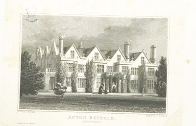
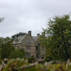
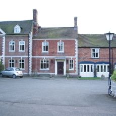
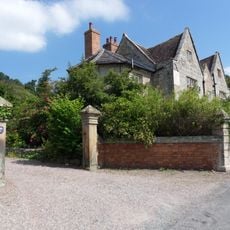
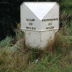
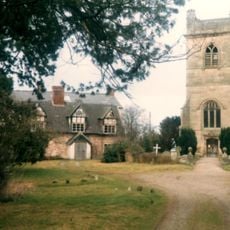
Acton Reynald Hall, Country house in Moreton Corbet and Lee Brockhurst, England.
Acton Reynald Hall is a country residence with an eastern front that spans seven bays across three stories and features a Tuscan portico built in the early 1600s. The structure is constructed from Grinshill sandstone with slate roofs and includes two main floors, multiple attics, and a basement level below.
The Corbet family moved from nearby Moreton Corbet Castle around 1800 and transformed their 17th-century house into a Neo-Jacobean mansion. This shift in location reflected the family's changing fortunes and architectural tastes during that period.
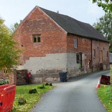
The hall served as a school for girls from 1919 to 1995, which brought a different kind of activity and purpose to the rooms and grounds. This educational chapter was an important part of the building's life and the community's memory.
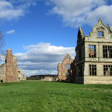
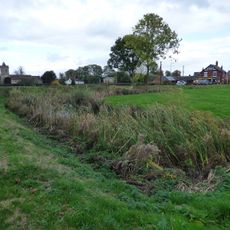
The hall sits in a spacious park setting that provides room for walking around the exterior and viewing the building from different angles. It is helpful to allow time to walk the grounds and observe how the house relates to its landscape.
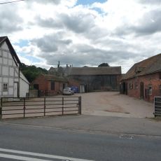
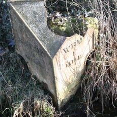
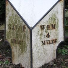
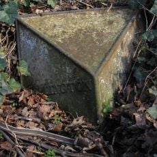
To create space for the grand park surrounding the hall, the entire village of Acton Reynald and several neighboring farms were demolished and relocated in the 1840s. This dramatic reshaping of the landscape allowed the family to achieve the kind of open estate that was fashionable at that time.
Location: Moreton Corbet and Lee Brockhurst
GPS coordinates: 52.80470,-2.69165
Latest update: December 12, 2025 14:23
Moreton Corbet Castle
2.6 km
Church of St Mary the Virgin
3.2 km
Church of All Saints
1.4 km
Church of St Mary
4.5 km
Church of St Peter
4.1 km
Church of St Andrew
3.4 km
Church of St Bartholomew
2.6 km
Church of All Saints
2.1 km
Church of St Mary
3 km
The Old Manor House
1.4 km
Church of St Mary Magdalene
3.4 km
Moated site 140m east of St Mary's Church
3.3 km
The Well House And The Elephant And Castle Hotel
1.3 km
Moreton Mill
4 km
Milepost Approximately 425 Metres To South Of Field House
4.8 km
Milepost Approximately 10 Metres To West Of Shawbury Bridge
3.3 km
The Manor House
1.4 km
Moated site and associated ridge and furrow cultivation remains, 145m south of St Mary Magdalene's Church
3.6 km
Preston Farmhouse
1.4 km
Milepost At Ngr Sj 5075 2667
4.4 km
Sundial Approximately 60 Metres To North East Of Church Of Saint Andrew
3.4 km
Milepost Approximately 200 Metres North East Of The Bridgewater Arms
4.5 km
The White House
1.4 km
Milepost Approximately 85 Metres To West Of Bridleway Gate
2.9 km
The Old Rectory
2.6 km
Milestone, Acton Reynald School wall S Grinshill turn
483 m
Milepost, Hadnall (N), by car sales
1.7 km
Milepost, Palms Hill, NW entrance to Pantulf House
4 kmVisited this place? Tap the stars to rate it and share your experience / photos with the community! Try now! You can cancel it anytime.
Discover hidden gems everywhere you go!
From secret cafés to breathtaking viewpoints, skip the crowded tourist spots and find places that match your style. Our app makes it easy with voice search, smart filtering, route optimization, and insider tips from travelers worldwide. Download now for the complete mobile experience.
A unique approach to discovering new places❞
— Le Figaro
All the places worth exploring❞
— France Info
A tailor-made excursion in just a few clicks❞
— 20 Minutes