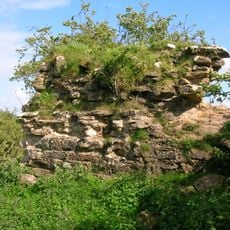
Auchencloigh Castle, Medieval castle ruins in East Ayrshire, Scotland.
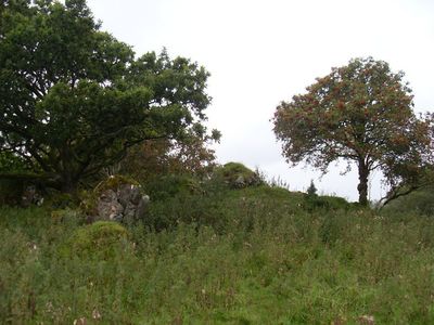
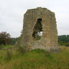
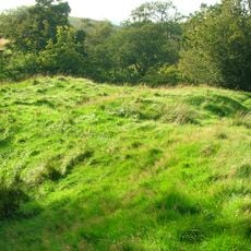
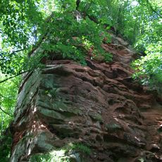
Auchencloigh Castle is a medieval castle ruin located near Burnton Burn in East Ayrshire. The rectangular stone structure retains walls of varying heights across multiple rooms, though much of the original building has crumbled over centuries.
The site appears on maps created between 1635 and 1652 by cartographer Robert Gordon and is documented as smaller than the nearby Kerse Castle. These early records show it was an established fortification in the region during the 17th century.
The name comes from Gaelic words, with 'achadh' meaning field and 'cloiche' meaning stone, reflecting the Scottish linguistic roots of the region. Walking through the site today, you can sense how these ancient place names tied the land to its original inhabitants' view of their surroundings.
The site is privately owned and used for agriculture, which means access may be restricted without permission. It is best to ask locals or property owners beforehand if a visit is possible, and to respect the surrounding farmland when exploring.
The fortification formed part of a defensive network with Drongan and Martnaham castles, creating strategic positions across the territory. This arrangement reveals how landowners secured their power through strategically positioned strongholds scattered across the landscape.
The community of curious travelers
AroundUs brings together thousands of curated places, local tips, and hidden gems, enriched daily by 60,000 contributors worldwide.