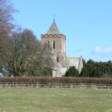
Adderstone Hall, Grade II* listed house in Adderstone with Lucker, England
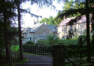
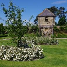
Adderstone Hall is a Georgian mansion designed by architect William Burn in 1819, positioned along the River Warn with a symmetrical five-bay front facade and extending wings on either side. The structure showcases neoclassical proportions and substantial stone construction that served to express both architectural skill and the owner family's prosperity.
The estate was originally controlled by the Forster family from the 12th century until financial hardship followed Thomas Forster's involvement in the 1715 uprising, leading to its loss. In the early 1800s, the Watson family acquired the land and commissioned the current mansion to establish their position as significant landowners.
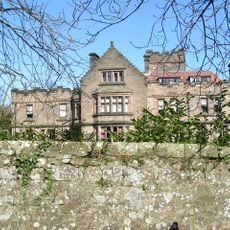
The building reflects the neoclassical ideals of the early 1800s and reveals the wealth that the local landowning family wanted to display through their home. The design shows how Georgian properties served as statements of taste and social position in rural England.
The property is currently not open to visitors as it is listed on the Heritage at Risk register due to significant structural and water damage. For information about the building's condition or future restoration plans, contact the local heritage authority or Historic England directly for details.
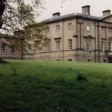
John William Watson, born at the hall in 1827, would go on to inherit the Cragside estate and access to a major industrial fortune tied to engineering innovations. This connection shows how country mansions like this one reflected the economic power and new ventures of the Victorian era.
The community of curious travelers
AroundUs brings together thousands of curated places, local tips, and hidden gems, enriched daily by 60,000 contributors worldwide.