Banwell Caves, Geological cave system in Banwell, England
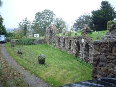
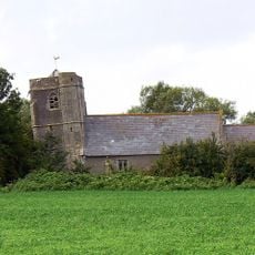
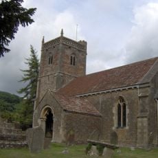
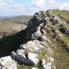
Banwell Caves is a cave system near the English village of Banwell comprising multiple underground sections with different geological features. The passages contain natural formations and mineral deposits that reveal millions of years of geological history and gradual reshaping by water.
Workers discovered the cave system in 1757, but it remained unknown until local researchers systematically explored it again in 1824. This rediscovery began the era of scientific documentation and study that continues today.
The caves reflect how people have explored and valued underground spaces for centuries, with remains and artifacts showing past discoveries and scientific interest. Walking through the passages, visitors sense this connection between human curiosity and the natural world beneath their feet.
Visitors can explore only the Bone Cave section on guided tours, as other areas remain closed for visitor safety and environmental protection. Wear appropriate clothing and sturdy footwear since the underground passages are uneven and damp.
The caves serve as a winter shelter where greater horseshoe bats retreat to rest during cold months. This underground refuge demonstrates how natural spaces provide critical habitats for wildlife adapted to darkness and humidity.
Location: Banwell
GPS coordinates: 51.32490,-2.88690
Latest update: December 11, 2025 18:08
Church of St James, Winscombe
3.6 km
Church of St Andrew, Banwell
1.7 km
The Helicopter Museum
3.4 km
Banwell Castle
2.3 km
Bleadon Hill
3.4 km
Locking Castle
2.8 km
Hutton Court
3 km
Church of St Saviour, Puxton
5 km
Max Bog
2.7 km
Shiplate Slait
2.8 km
Church of St Andrew, Compton Bishop
3.6 km
Banwell Camp
2.6 km
Church of St Peter & St Paul, Bleadon
4.6 km
Church of St Mary, Christon
1.5 km
Church of All Saints
4 km
Parish Church of St Andrew
3.1 km
Parish Church of St Augustine
2.1 km
Church of Saint Mary the Virgin
3.1 km
Crook Peak
3 km
Sandford Station Railway Heritage Centre
3.4 km
Manor Farmhouse and attached barn
3.8 km
Old Vicarage
3.6 km
Church cross, in churchyard, 10 metres south of Church of St Andrew
3.7 km
Main block with entrance elevation to Sidcot School
4.7 km
Nut Tree Farmhouse
3.5 km
Village Cross, 5 Metres North Of Post Office
4.6 km
Unknown chest tomb in churchyard, 9 metres south of chancel, Church of St Andrew
3.7 km
Milepost, near Winscombe & Sidcot, near entrance to Fullers Lane
4.6 kmVisited this place? Tap the stars to rate it and share your experience / photos with the community! Try now! You can cancel it anytime.
Discover hidden gems everywhere you go!
From secret cafés to breathtaking viewpoints, skip the crowded tourist spots and find places that match your style. Our app makes it easy with voice search, smart filtering, route optimization, and insider tips from travelers worldwide. Download now for the complete mobile experience.
A unique approach to discovering new places❞
— Le Figaro
All the places worth exploring❞
— France Info
A tailor-made excursion in just a few clicks❞
— 20 Minutes