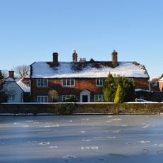
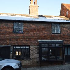
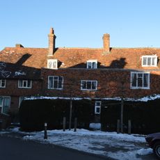
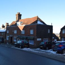
Baynards Park, English country estate in Surrey, England.
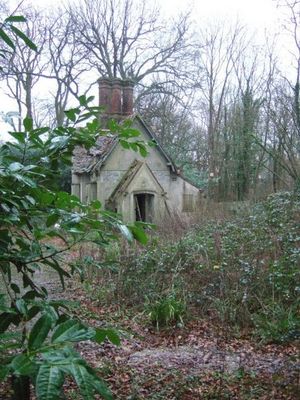
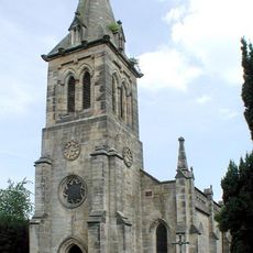
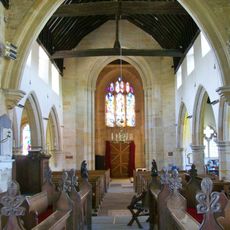
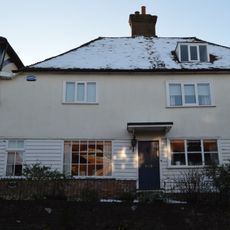
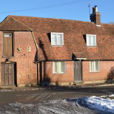
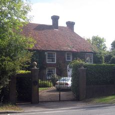
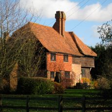
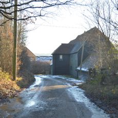
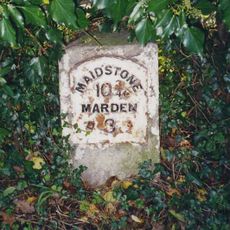
Baynards Park is an estate of about 2000 acres spanning the parishes of Cranleigh and Ewhurst, with the remains of a mansion, gardens, cottages, and outbuildings from different periods. The structures are scattered across the green grounds and show varying degrees of decay.
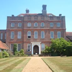
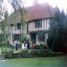
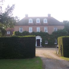
Sir George More built the Elizabethan manor house in 1587 with funds from his wife Constantia, establishing the estate's grand architectural foundation. Later, under Arthur Onslow's ownership, the place shifted from a noble residence to a working farm.
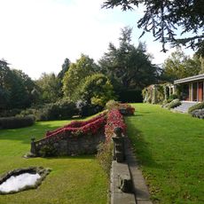
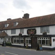
The estate bears traces of its days as a grand residence, with remaining structures and grounds that speak to its former wealthy standing. Visitors and local groups who gather here today give a sense of how such places continue to hold meaning for the surrounding community.
The grounds are expansive and require time to explore, with some paths in better condition than others. Visitors should wear sturdy footwear and allow extra time, as walking to the more distant building remains can be demanding.
The mansion burned down in 1979 under mysterious circumstances while owned by helicopter entrepreneur Alan Bristow, fundamentally changing the fate of the place. This dramatic fire marked the turning point from an occupied property to the gradual decay seen today.
The community of curious travelers
AroundUs brings together thousands of curated places, local tips, and hidden gems, enriched daily by 60,000 contributors worldwide.