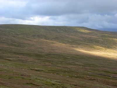
Black Fell, Mountain summit in North Pennines, England.
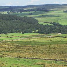
Black Fell is a mountain summit in the North Pennines between Kirkoswald and Alston Moor, rising to 664 meters. The landscape around it consists of moorland and grass paths that become increasingly open as you gain elevation.
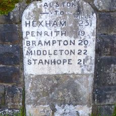
For centuries the mountain has served as a natural boundary point within the North Pennines region. This geographical position shaped settlement patterns and land divisions across generations.
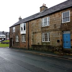
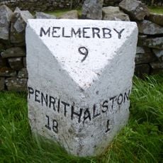
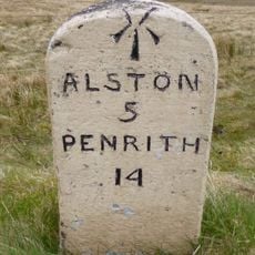
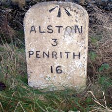
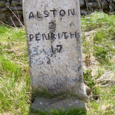
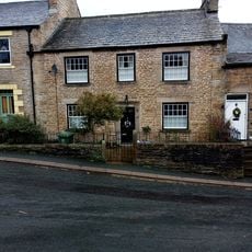
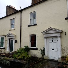
Local residents maintain traditional walking paths across Black Fell, connecting communities while preserving access routes used by generations of inhabitants.
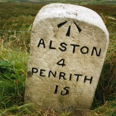
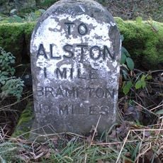
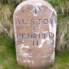
Several established walking trails approach the summit from Kirkoswald village, with the main route taking around an hour and a half. The path is clearly marked and easy to follow, offering good conditions on most sections throughout the year.
From the summit you have direct sight lines to archaeologically important locations in the surrounding area. Most visitors overlook the stone circle of Long Meg and her Daughters, which is visible on clear days.
Location: Kirkoswald
Location: Alston Moor
Elevation above the sea: 664 m
Part of: North Pennines
GPS coordinates: 54.79331,-2.54870
Latest update: December 14, 2025 20:30
St. John's Church
6.4 km
South Tynedale Railway
7.3 km
Alston Town Hall
7.2 km
Church of the Holy Paraclete
7.2 km
Alston bridge
7 km
Kirkhaugh footbridge
7.2 km
Cross 10 Metres South Of Parish Church Door
7.1 km
All Saint's Church
5.1 km
Blue Bell Hotel
7.2 km
Monument View
7.2 km
House Adjoining South End Of Blue Bell Hotel
7.2 km
Manorial Boundary Stone, East Of Raven Bridge
4.8 km
Milestone Set Into Rounded Corner Of Wall To West Of Town Hall
7.2 km
Alston War Memorial
6.9 km
Gilderdale Viaduct
7 km
Corner House Adjoining House To South Of Blue Bell Hotel
7.2 km
Milestone To East Of Bayles
6.2 km
Milestone East Of Hartside Cafe
2.3 km
Milestone To South West Of Hartside House
4.1 km
Milestone To North East Of Hartside Cottages
5.2 km
Orchard House
7.2 km
Whitley Castle
6.3 km
Milestone West Of Meathaw Hill
3.2 km
Sun House, Adjoining North End Of Orchard House
7.2 km
House Adjoining South End Of Monument View
7.2 km
Milestone, Harbut Law, 100m S of entrance to Sheepriggs
6.7 km
Milestone, Melmerby, Long Craggs, on bend
4.3 km
House Adjoining North End Of Monument View
7.2 kmVisited this place? Tap the stars to rate it and share your experience / photos with the community! Try now! You can cancel it anytime.
Discover hidden gems everywhere you go!
From secret cafés to breathtaking viewpoints, skip the crowded tourist spots and find places that match your style. Our app makes it easy with voice search, smart filtering, route optimization, and insider tips from travelers worldwide. Download now for the complete mobile experience.
A unique approach to discovering new places❞
— Le Figaro
All the places worth exploring❞
— France Info
A tailor-made excursion in just a few clicks❞
— 20 Minutes