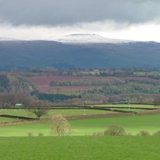
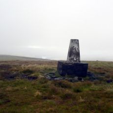
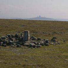
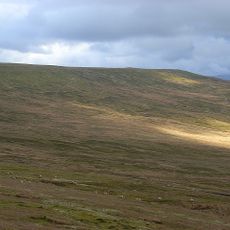
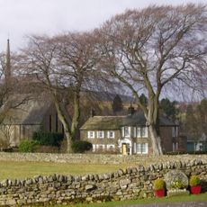
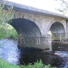
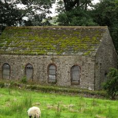
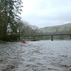
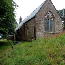
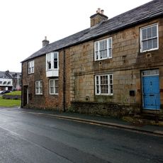
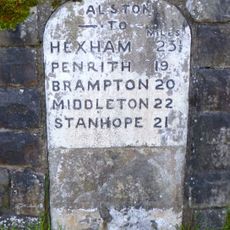
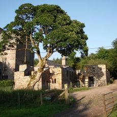
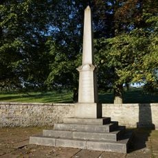
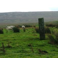
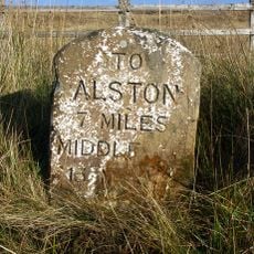
Alston Moor, civil parish, ward and former rural district in Eden, Cumbria, England, based around the small town of Alston
Location: Eden
Website: https://alstonmoor.org
GPS coordinates: 54.81200,-2.44100
Latest update: March 4, 2025 23:06
Cross Fell
12.5 km
Burnhope Seat
11.2 km
Throssel Hole Buddhist Abbey
8.6 km
Ashgill Force
7.2 km
Moorhouse and Cross Fell
11.2 km
Black Fell
7.2 km
South Tynedale Railway
304 m
Alston Town Hall
39 m
Church of St Augustine
127 m
Church of the Holy Paraclete
3.5 km
Alston bridge
310 m
Whiteley Shield Methodist Chapel
8.6 km
Congregational Chapel
5.1 km
Alston railway bridge
1.1 km
Nenthead Methodist Church
6.9 km
Kirkhaugh footbridge
3.8 km
Cross 10 Metres South Of Parish Church Door
3.5 km
St John the Evangelist
6.7 km
Methodist Church
8.5 km
Blue Bell Hotel
29 m
Monument View
60 m
House Adjoining South End Of Blue Bell Hotel
38 m
Milestone Set Into Rounded Corner Of Wall To West Of Town Hall
45 m
Clarghyll Hall
3 km
Market Cross
146 m
Alston War Memorial
396 m
Boundary Stone C1600 Yards South West Of Nenthead In Field On Douth Side Of Road
6.5 km
Milestone To South Of Ladygill Bridge
10.1 kmReviews
Visited this place? Tap the stars to rate it and share your experience / photos with the community! Try now! You can cancel it anytime.
Discover hidden gems everywhere you go!
From secret cafés to breathtaking viewpoints, skip the crowded tourist spots and find places that match your style. Our app makes it easy with voice search, smart filtering, route optimization, and insider tips from travelers worldwide. Download now for the complete mobile experience.
A unique approach to discovering new places❞
— Le Figaro
All the places worth exploring❞
— France Info
A tailor-made excursion in just a few clicks❞
— 20 Minutes