Burnhope Seat, Mountain summit in North Pennines, England
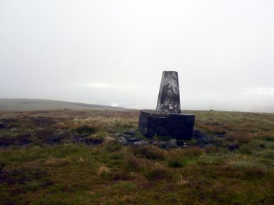
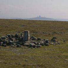
Burnhope Seat is a summit in the North Pennines of England, sitting at 747 meters above sea level. The top forms a broad, flat plateau covered in tussock grass and peat bog, with no shelter from the wind.
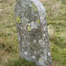
The ridge along this summit has long served as a boundary between County Durham and Cumbria, a division that shaped how the land was managed and governed over the centuries. That boundary remains in place today, still separating two administrative areas in northern England.
Burnhope Seat marks the highest point in historic County Durham, and a triangulation point placed on the top serves as a reference marker for geographic surveys. These concrete pillars are familiar landmarks for walkers across the British uplands.
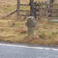
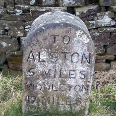
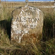
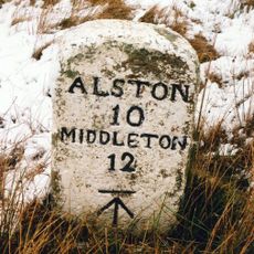
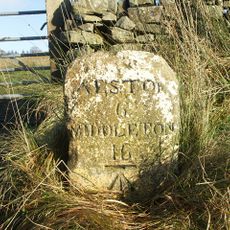
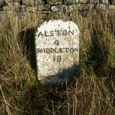
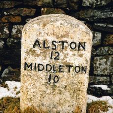
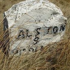
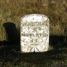
The summit can be reached on foot from paths that branch off the B6277 road between Alston and Middleton-in-Teesdale. The ground is often wet and the top exposed, so sturdy boots and waterproof layers are worth bringing regardless of the forecast.
The northwest slopes of the summit are home to Yad Moss, one of the very few ski areas in England that opens in winter. Most people walking the moorland in summer have no idea that a ski lift operates there just a few months later.
The community of curious travelers
AroundUs brings together thousands of curated places, local tips, and hidden gems, enriched daily by 60,000 contributors worldwide.