North of England Lead Mining Museum, Industrial mining museum in Upper Weardale, County Durham, England.
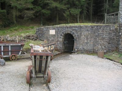
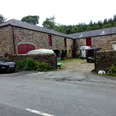
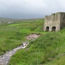
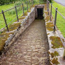
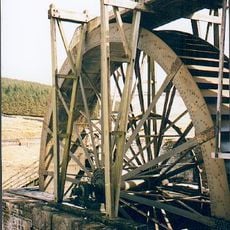
The North of England Lead Mining Museum in Upper Weardale is a mining museum with an artificial mine tunnel, operational processing machinery, and an extensive collection of mining equipment from the 19th century. The site also houses the restored Killhope Water Wheel, a large historical water wheel from the region's mining history.
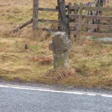
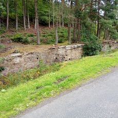
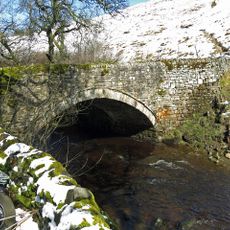
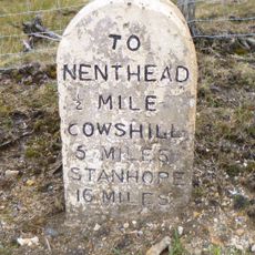
The site was established around the Park Level Mine, which opened in 1853 and operated until 1883 when falling lead prices forced closure. This mine's story reflects the rise and fall of lead mining across the Pennines region.
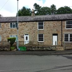
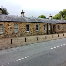
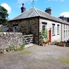
The exhibits show how lead miners lived and worked day to day through reconstructed homes and personal objects from the mining community. These items help visitors understand the role mining played in the lives of these people.
The site is located in a rural part of Weardale and is best reached by car, as public transport connections are limited. Visitors should confirm the site is open before visiting and check online or call ahead for current opening hours and any seasonal closures.
The Killhope Water Wheel is one of the largest preserved wheels from the North Pennines mining industry and demonstrates the technological sophistication of Victorian mining operations. The wheel has been carefully restored and remains a striking example of the engineering achievements of that era.
The community of curious travelers
AroundUs brings together thousands of curated places, local tips, and hidden gems, enriched daily by 60,000 contributors worldwide.