Ashgill Force, Waterfall in Alston Moor, England
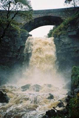
Ashgill Force is a waterfall in the North Pennines that drops over 55 feet down a rocky shelf, creating multiple water streams across stone formations. The cascade splits into several channels as it falls through the rocky landscape, forming pools below.
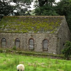
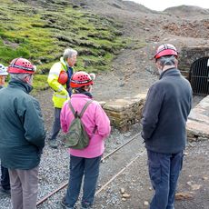
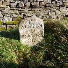
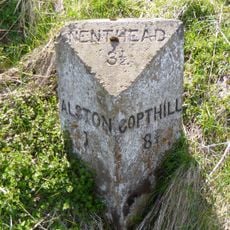
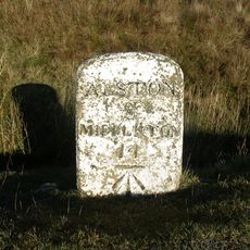
The waterfall sits near former lead mines that drove economic activity in Alston Moor during the industrial era. These mining operations shaped the landscape and the settlement patterns of the region.
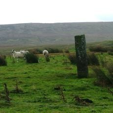
Local residents of Alston Moor maintain traditions through community events that celebrate the natural features of the North Pennines landscape.
The waterfall is accessible via marked trails from the B6277 road or through paths from Garrigill village, and you will need sturdy footwear for the walk. The ground becomes slippery when wet, so take care on the rocky sections.
Visitors can stand on a natural rock shelf behind the falling water, viewing the cascade from an unusual angle inside the spray. This vantage point gives a rare perspective on the power of the water from a protected spot.
Location: Alston Moor
GPS coordinates: 54.75867,-2.37625
Latest update: December 14, 2025 11:42
Burnhope Seat
4 km
Moorhouse and Cross Fell
4.7 km
Congregational Chapel
2.4 km
St John the Evangelist
4.1 km
Nenthead Methodist Church
4 km
Killhope Cross
4.9 km
Nenthall War Memorial
5.3 km
Milestone To South Of Ladygill Bridge
2.9 km
Milestone To East Of Ashgillside
160 m
Lead mines, ore works and smeltmill at Nenthead
3.6 km
5 Boundary Stones On Border With Cumbria
4.8 km
Memorial Pump And Canopy
4 km
Milestone To North East Of High Annat Walls
5.8 km
Boundary Stone C1600 Yards South West Of Nenthead In Field On Douth Side Of Road
2.5 km
Reading Room, Adjoining West End Of Ivy House
4 km
Ivy House
4 km
Milestone To North Of Woodbrae
4.2 km
Milestone To East Of Bunkershill
1.7 km
Milestone To East Of Over Lee House
1.3 km
Boundary Stone C2000 Yards South East Of Nenthead In Field On North Side Of Road
2.3 km
Forecourt Walls, Gate Piers, And Central Gate To Front Of Ivy House
4 km
Milestone To West Of Rise Head
4.4 km
Milestone To South West Of Skelgillrigg
6.3 km
Milestone 120 Metres East Of Near Crookburn Sike
5.8 km
Milestone Half Way Between Darngill And Crookburn Bridges
4.4 km
Milestone To North Of Hudgillrigg
5.7 km
Milestone To North East Of Hilltop
4.2 km
Milestone, Nentsberry, 100m W of former chapel
4.8 kmVisited this place? Tap the stars to rate it and share your experience / photos with the community! Try now! You can cancel it anytime.
Discover hidden gems everywhere you go!
From secret cafés to breathtaking viewpoints, skip the crowded tourist spots and find places that match your style. Our app makes it easy with voice search, smart filtering, route optimization, and insider tips from travelers worldwide. Download now for the complete mobile experience.
A unique approach to discovering new places❞
— Le Figaro
All the places worth exploring❞
— France Info
A tailor-made excursion in just a few clicks❞
— 20 Minutes