Black Hill, Natural elevation in Holme Valley and Tintwistle, England
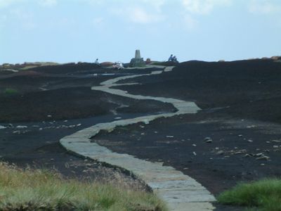
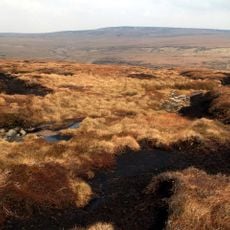
Black Hill is a hill in Holme Valley and the Tintwistle area, sitting within the Peak District in northern England, with a flat plateau summit built on sandstone. The top carries a survey pillar called Soldier's Lump, and the ground across the summit is largely peat, making it soft and boggy underfoot.
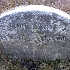
The hill formed over a long period as sandstone layers built up and were later covered by deep peat deposits. For many years it served as a boundary marker between the historic county of Cheshire and the neighboring areas of the Pennines.
The Pennine Way passes directly over the summit, connecting walkers from across the country on a shared route. Those who reach the top often meet others who are walking the full length of England over several weeks.
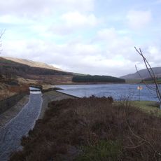
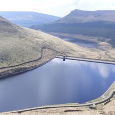
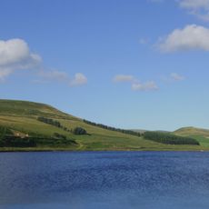
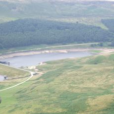
The summit can be approached from several sides, with routes from Longdendale Valley and Digley Reservoir being among the most used. Waterproof boots and windproof clothing are a must, as the ground stays wet and the top is open to strong winds year round.
The dark appearance that gave the hill its name comes not from rock or shadow, but from the black color of the wet peat covering the summit. This dark surface is visible from other parts of the Peak District, standing out clearly against the lighter ground around it.
The community of curious travelers
AroundUs brings together thousands of curated places, local tips, and hidden gems, enriched daily by 60,000 contributors worldwide.