
Barton, village and civil parish in Cheshire, UK
Location: Cheshire West and Chester
GPS coordinates: 53.08137,-2.82788
Latest update: March 17, 2025 11:12


Stretton Hall
1.4 km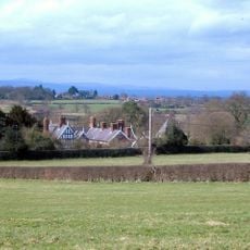
Lower Carden Hall
2.3 km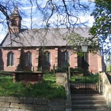
St Mary's Church, Coddington
1.4 km
Stretton Lower Hall
1.1 km
Cock of Barton Inn
163 m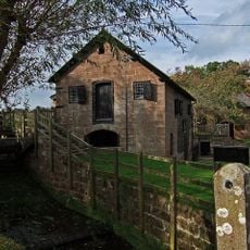
Stretton Watermill
1.4 km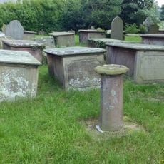
Sundial in Church of St Mary's churchyard
1.4 km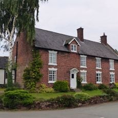
Barton Farmhouse
243 m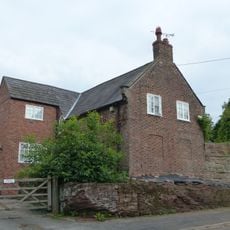
Rock Farmhouse
202 m
Millhey Farmhouse
179 m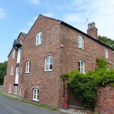
Coddington Mill And Mill Dam
1.2 km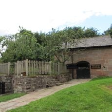
Stretton Mill Stable
1.3 km
Stocks
89 m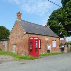
Kiosk adjacent to Village Institute
1.4 km
Holford Charity, Farmhouse
1.7 km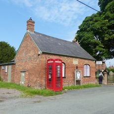
Village Institute
1.4 km
Middle Beachin Farmhouse
2.5 km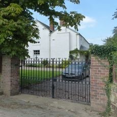
Coddington Old Rectory
1.4 km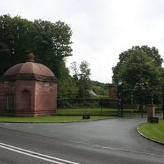
Clutton Lodge (East Lodge)
1.5 km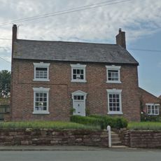
Higher Farmhouse
220 m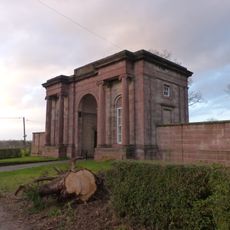
Carden Lodge and wing walls
1.9 km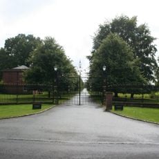
Gate piers and railings at Clutton Lodge
1.5 km
Bowl barrow 120m north-east of Rose Farm
1.3 km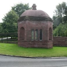
Clutton Lodge (West Lodge)
1.5 km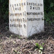
Milepost, N of Lodge Farm
2.3 km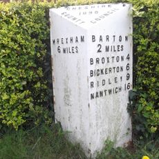
Milepost, between crossroads with B6130, in front of Milestone House
2.9 km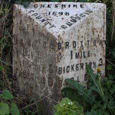
Milepost, opp. Clutton School
1.9 km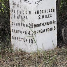
Milepost, N of Caldecott Green
2.7 kmVisited this place? Tap the stars to rate it and share your experience / photos with the community! Try now! You can cancel it anytime.
Discover hidden gems everywhere you go!
From secret cafés to breathtaking viewpoints, skip the crowded tourist spots and find places that match your style. Our app makes it easy with voice search, smart filtering, route optimization, and insider tips from travelers worldwide. Download now for the complete mobile experience.

A unique approach to discovering new places❞
— Le Figaro
All the places worth exploring❞
— France Info
A tailor-made excursion in just a few clicks❞
— 20 Minutes