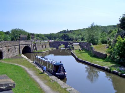
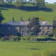
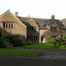
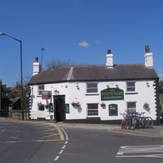
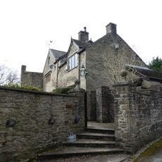
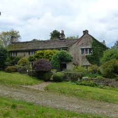
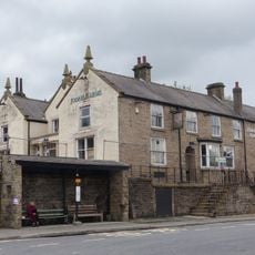
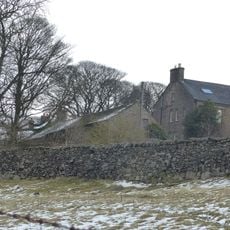
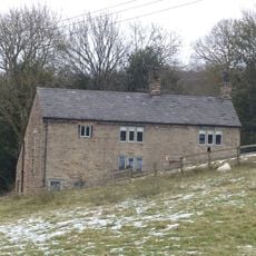
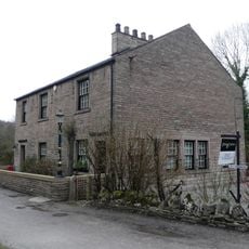
Bugsworth Basin, Canal basin and scheduled monument in Whaley Bridge, GB
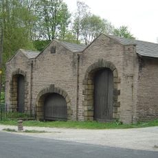
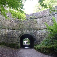
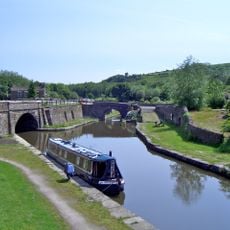
Bugsworth Basin is a canal terminus at the end of the Peak Forest Canal featuring three connected basins with stone construction, loading wharves, and tramway tracks. These structures define the site and reveal the basic layout of an industrial facility from the 1700s.
The site was built in 1796 to move limestone from nearby quarries by canal and tramway to Manchester. This transportation route remained in use until canals lost importance around 1927.
The site shows how people managed the movement and storage of materials during industrial times. The preserved structures give visitors a sense of how workers operated here and what role the place held for surrounding communities.
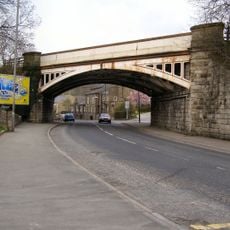
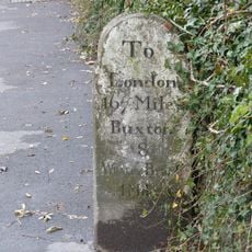
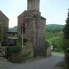
The basin is accessible from the B6062 New Road near Whaley Bridge, with signs from the main A6 route. The location allows visitors to walk around the site and view the different historical structures clearly.
The site preserves a rare combination of canal and tramway infrastructure that operated together as one system. This dual operation is hardly found anywhere else in Britain and makes the place particularly important for industrial history.
Location: Whaley Bridge
Part of: Peak Forest Canal, Peak Forest Tramway, Bugsworth canal basin, tramway, quarry and limekilns
GPS coordinates: 53.33490,-1.96843
Latest update: December 12, 2025 07:54
Railway Bridge
1.3 km
Methodist Church And Sunday School
1.3 km
Holy Trinity Church
1.6 km
Church of St James
175 m
Ollerenshaw Hall
1.3 km
Old Hall Inn
1.7 km
White Hart Public House
1.2 km
Bugsworth Hall
253 m
Hockerley Hall Farmhouse
1.4 km
Jodrell Arms Hotel
1.2 km
Laneside Farmhouse
1.2 km
Canal Warehouse at end of Peak Forest Canal
1.1 km
White Hall gates, gate piers and railings
1.5 km
Peak Forest Canal Horse Tunnel, Buxworth Arm
852 m
Milestone near Crescent Drive
1.4 km
Cotebank
1 km
Buxworth War Memorial
160 m
Bugsworth canal basin, tramway, quarry and limekilns
91 m
Barn to south of old farmhouse
1.6 km
Peathill Farmhouse and barn
1.5 km
Buxworth Canal Basin. Stables to east of Wharfinger's House
347 m
Buxworth Canal Basin. Wharfinger's House and office
369 m
Disused Colliery Air Shaft Tower
1.3 km
White Hall
1.6 km
Bridgemont War Memorial
1.1 km
Brierley Green Farmhouse and Barn
567 m
Milestone, Chapel Road; E of Whaley Bridge
1.7 km
Milestone, bridge over River Goyt
1.2 kmVisited this place? Tap the stars to rate it and share your experience / photos with the community! Try now! You can cancel it anytime.
Discover hidden gems everywhere you go!
From secret cafés to breathtaking viewpoints, skip the crowded tourist spots and find places that match your style. Our app makes it easy with voice search, smart filtering, route optimization, and insider tips from travelers worldwide. Download now for the complete mobile experience.
A unique approach to discovering new places❞
— Le Figaro
All the places worth exploring❞
— France Info
A tailor-made excursion in just a few clicks❞
— 20 Minutes