Enable Location

We need your location to show you interesting places around you

Discover nearby places

Find interesting locations and hidden gems around you

Precise directions

Get accurate directions and distances to places

Your location is never shared with other users. It's only used when you tap the location button.

Whaley Bridge

Log in to your account

Start exploring — it's free

Trusted by 62,630 travelers worldwide

Continue with Google
Continue with Apple
or

We will send you a code to connect

By continuing, you accept our Terms and Conditions and our Privacy Policy

Check your inbox

We've sent a pincode in your inbox. Please enter the code below.

Whaley Bridge, Civil parish and town in High Peak, England

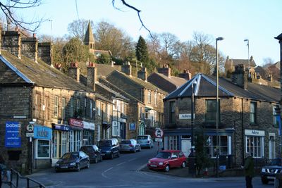
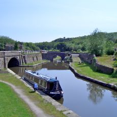
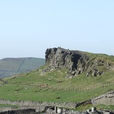
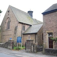
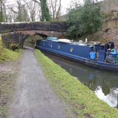
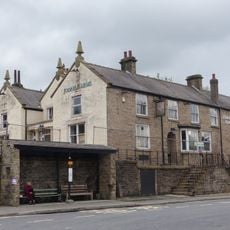
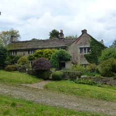
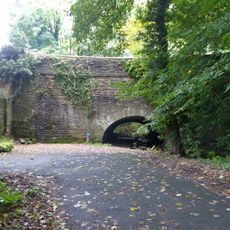
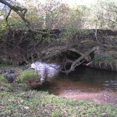
Whaley Bridge is a town located where the River Goyt and the Peak Forest Canal meet in the High Peak. The landscape here blends water features and built structures, creating a junction point between the moorland uplands and the lower regions beyond.

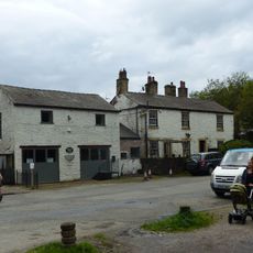
The settlement began as a medieval clearing in the forest and transformed during the 1800s when the Peak Forest Canal and Cromford Railway were built. These transport links turned it into a commercial hub connecting mining regions with distant markets.

The town celebrates its roots through the annual Well Dressing Weekend and Rose Queen Carnival that brighten the summer months. These gatherings show how locals express their heritage through seasonal festivities and community traditions.

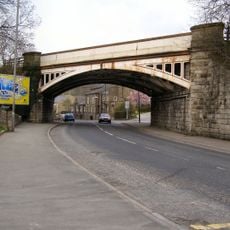
Train services link this location to Manchester and Buxton, and the A6 road provides direct routes to nearby Peak District attractions. The hilly surroundings mean that exploring on foot involves elevation changes throughout the day.

The Toddbrook Reservoir sits above the town and required a complete evacuation of residents in 2019 following structural concerns after heavy rain. This dramatic moment showed how water infrastructure can suddenly affect daily life in the area.

The community of curious travelers

AroundUs brings together thousands of curated places, local tips, and hidden gems, enriched daily by 60,000 contributors worldwide.

Start exploring
Location
Shares border with
New Mills, Hartington Upper Quarter, Chapel-en-le-Frith, Chinley, Buxworth and Brownside, Disley (civil parish), Lyme Handley, Kettleshulme
GPS coordinates
53.33040,-1.98380
Latest update
December 19, 2025 23:56
« Whaley Bridge - Civil parish and town in High Peak, England » is provided by Around Us (aroundus.com). Images and texts are derived from Wikimedia project under a Creative Commons license. You are allowed to copy, distribute, and modify copies of this page, under the conditions set by the license, as long as this note is clearly visible.

Discover hidden gems everywhere you go!

From secret cafés to breathtaking viewpoints, skip the crowded tourist spots and find places that match your style. Our app makes it easy with voice search, smart filtering, route optimization, and insider tips from travelers worldwide. Download now for the complete mobile experience.

Around Us App Screenshot

A unique approach to discovering new places

Le Figaro

All the places worth exploring

France Info

A tailor-made excursion in just a few clicks

20 Minutes

Around Us
Travel Guide & Maps
Download

Send to your phone

QR Code
1

Open the camera app on your mobile.

2

Point at the QR code with your camera. A notification will appear.

3

Tap the notification to open the link.