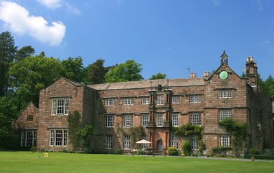
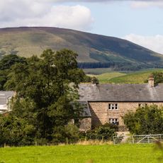
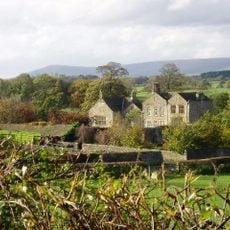
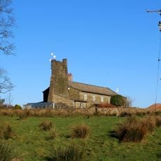
Browsholme Hall, English country house in Forest of Bowland, England.
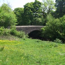
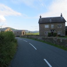
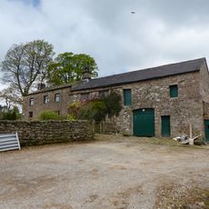
Browsholme Hall is an English country house in Forest of Bowland featuring a three-acre lake surrounded by 600 acres of rural land. The property offers views toward distant Fells and is set within wooded terrain.
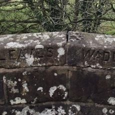
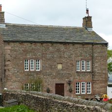
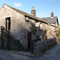
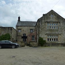
Built in 1507, it stands as Lancashire's oldest surviving family residence where the Parker family has lived continuously since Tudor times. The household remained in the same family's hands for more than five centuries.
The estate holds an extensive antiquarian collection with historical objects and furnishings that reflect the family's story across generations. Visitors can observe how these pieces were used in daily life and the role they played in the household.
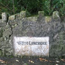
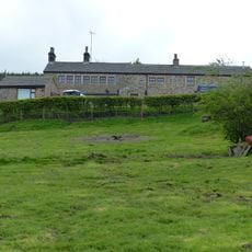
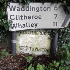
The property sits in a rural setting surrounded by fields and woodlands, so arriving by car is advisable or arranging transport in advance. The location has limited amenities nearby, so plan your visit with enough time to explore the grounds fully.
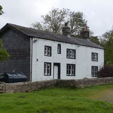
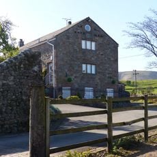
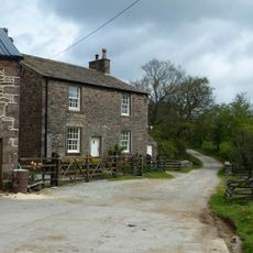
The estate includes ten luxury lodges nestled within natural oak and beech woodland on the grounds, allowing visitors to stay overnight within the historical property. These accommodations let guests experience the landscape and setting over multiple days rather than a single visit.
Location: Bowland Forest Low
Website: https://browsholme.com
GPS coordinates: 53.90240,-2.48190
Latest update: December 10, 2025 16:26
Cow Ark Farmhouse
1.2 km
The Inn at Whitewell
3 km
Lower Lees Farmhouse
3.1 km
Higher Lees Farmhouse
2.1 km
Church of St Michael
3 km
Giddy Bridge
4.2 km
Burholme Bridge
3.7 km
Wetters Bridge
4.3 km
Loud Mytham Bridge
4.2 km
Guidestone, ExYW Lees, E of River Hodder, in wall
2.5 km
Burholme Farmhouse
4 km
Bashall Hall
3.9 km
Milestone At Road Junction 540 Metres North East Of Higher Hodder Bridge
4.2 km
Crimpton Farmhouse
2 km
Farm building at Fair Oak Farm 400 metres north-west of Fair Oak Farmhouse
3.7 km
Marl Hill Farmhouse
2.2 km
Lower Birkett Farmhouse
3.9 km
West Lodge, Browsholme Hall and pair of gatepiers adjoining to south
213 m
Higher Whitewell Farmhouse
3.2 km
New Laund Farmhouse
3.4 km
Limekiln 20 metres north of Cow Ark Bridge
1.1 km
Barn at Fair Oak Farm
3.7 km
Doeford Bridge
4 km
Higher Birkett Farmhouse and buildings adjoining to the east
3.8 km
Browsholme Spire, adjoining south west end of Spire Farmhouse
1.3 km
Guidestone, ExYW NE of Higher Hodder Bridge
4.2 km
Stakes
4.1 km
Guidestone, ExYW Lees, E of River Hodder, behind modern road sign
2.5 kmVisited this place? Tap the stars to rate it and share your experience / photos with the community! Try now! You can cancel it anytime.
Discover hidden gems everywhere you go!
From secret cafés to breathtaking viewpoints, skip the crowded tourist spots and find places that match your style. Our app makes it easy with voice search, smart filtering, route optimization, and insider tips from travelers worldwide. Download now for the complete mobile experience.
A unique approach to discovering new places❞
— Le Figaro
All the places worth exploring❞
— France Info
A tailor-made excursion in just a few clicks❞
— 20 Minutes