Burnley Wood, Residential district in Burnley, England
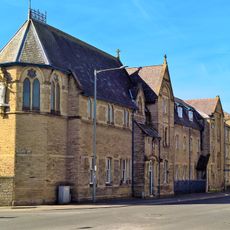
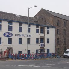
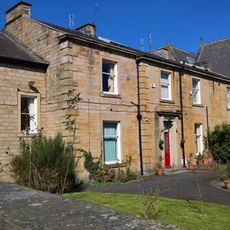
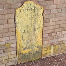
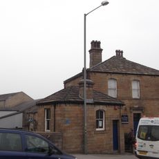
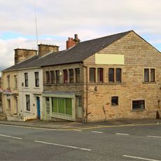
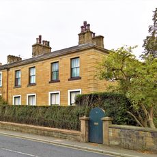
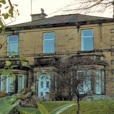
Burnley Wood is a residential district in Burnley lying between Parliament Street and Hufling Lane, extending from the railway in the west to Todmorden Road in the east. The neighborhood features typical housing from the industrial era arranged along streets that provide straightforward access to the town's main services and amenities.
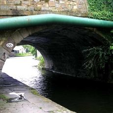
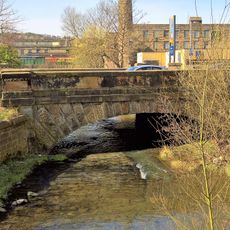
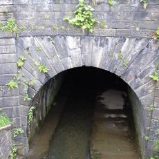
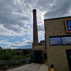
The area transformed from rough moorland and woodland with scattered farmsteads in the 16th century into an industrial hub following completion of the Leeds and Liverpool Canal in 1801. The canal's arrival brought factories and workers to what had been remote countryside, reshaping the entire landscape and population.
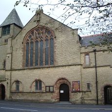
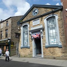
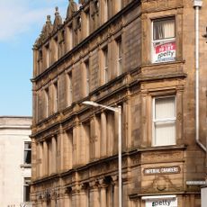
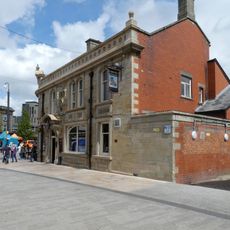
Brunswick Street developed as a gathering place where political and social clubs took root during the 1800s, with the Conservative Working Men's Club still operating as a reminder of these community spaces. These venues reflected how residents organized their social and political lives around neighborhood meeting places.
The district is easily reached by public transport with good connections to Burnley's town center, where most shops and services are located. Walking is the best way to explore the neighborhood since streets are compact and most points of interest are within a short distance.
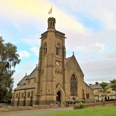
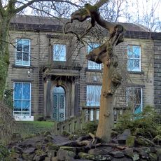
From 1673 to 1819, St. Peter's Church owned most of Burnley Wood as church land, which delayed development and kept the area rural much longer than surrounding regions. This explains why factories and housing only arrived in the early 1800s when the church finally released the land.
The community of curious travelers
AroundUs brings together thousands of curated places, local tips, and hidden gems, enriched daily by 60,000 contributors worldwide.