Burnley Way, Long-distance footpath in Lancashire, England
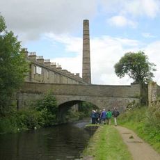
The Burnley Way is a 40-mile walking route across Lancashire, divided into six clearly marked sections beginning at the Weavers' Triangle in Burnley town center. It passes canal towpaths, moorlands, woodlands, and reservoirs, with Thieveley Pike as its highest point and connections to other long-distance trails like the Bronte Way and Pendle Way.
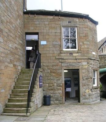
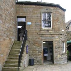
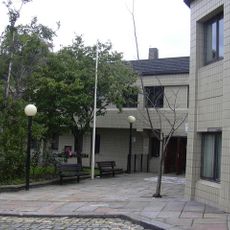
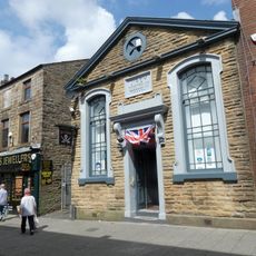
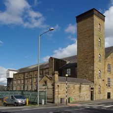
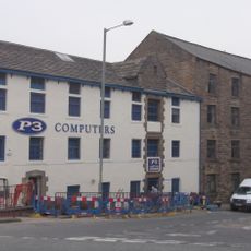
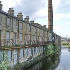
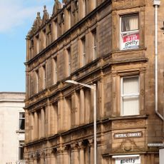
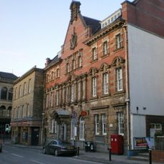
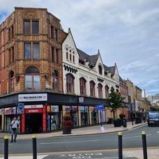
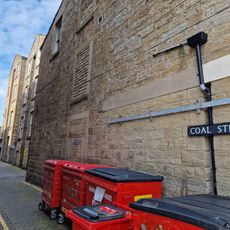
The route was created by local groups over 15 years ago to encourage walking and exploration of the area's history. It passes former limestone quarries and mining sites showing Burnley's industrial past, and the Weavers' Triangle reflects the town's textile manufacturing heritage from its working days.
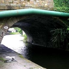
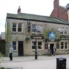
The Burnley Way connects the community to its textile heritage, visible at the Weavers' Triangle where old mills shape the landscape today. Walkers experience daily life here, from busy town centers to calm canal towpaths where boats drift slowly and locals enjoy a slower pace.
The route divides into six sections, each accessible by public transport, making it easy to plan shorter walks or join at different points. Some sections become muddy in rain, so sturdy footwear is recommended, and benches and viewing areas are placed along the way for rest and enjoyment.
The famous Straight Mile section of the Leeds and Liverpool Canal runs alongside the route and is considered one of the engineering wonders of British waterways. A windfarm at Coal Clough demonstrates how the landscape has evolved, blending old industrial sites with renewable energy infrastructure in a single view.
The community of curious travelers
AroundUs brings together thousands of curated places, local tips, and hidden gems, enriched daily by 60,000 contributors worldwide.