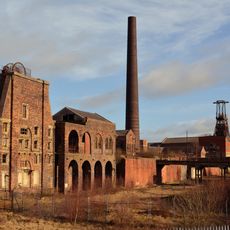
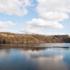
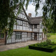
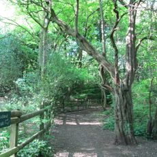
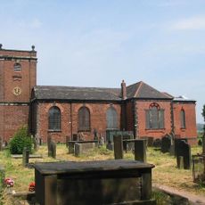
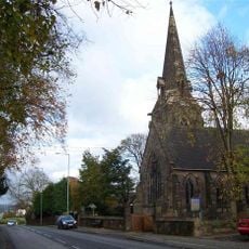
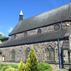
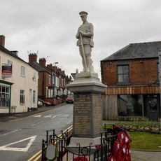
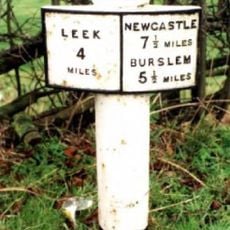
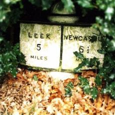
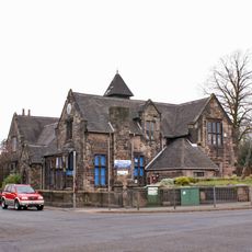
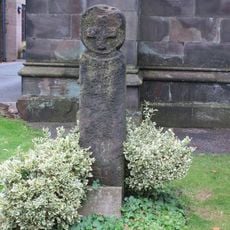
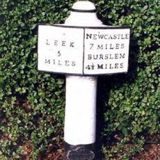
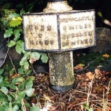
Brown Edge, village in Staffordshire, England, UK
Location: Staffordshire Moorlands
GPS coordinates: 53.08253,-2.14872
Latest update: April 11, 2025 21:01
Chatterley Whitfield Colliery
1.9 km
Knypersley Reservoir
1.4 km
Ford Green Hall
3.4 km
Bagnall Road Wood
4 km
The Ashes
3.1 km
Church of St Anne
394 m
Church of St Luke, Endon
2.7 km
Church of St Saviour, Smallthorne
3.9 km
Church of St Chad
4 km
Church of St Bartholomew
2.6 km
Church of St John the Evangelist
3.6 km
Prospect Tower And Attached Wing
1.5 km
St James the Apostle
3.9 km
Biddulph Library
4.1 km
St. Philip and St. James
3.6 km
Biddulph War Memorial
4.3 km
Milepost At Sj 933 541
3.2 km
Milepost Outside 'Kings Croft', West Of Endon Village
2.1 km
Knypersley School Knypersley School, Attached Archway And Frontage Wall
3.6 km
Biddulph Primary Care Centre
4.1 km
Crowborough Farmhouse
3 km
Chatterley Whitfield: Pithead Baths Complex (18-21)
1.9 km
Brindley Ford War Memorial
2.3 km
Red Cross, Approximately 2 Metres West Of Church Of St John
3.6 km
Milepost At Sj 923 528
2.5 km
Biddulph Town Hall
4.2 km
Milepost, between Norton Green & Norton-in-the-Moors, W of Endon village
2 km
Milepost, Stockton Brook
2.5 kmVisited this place? Tap the stars to rate it and share your experience / photos with the community! Try now! You can cancel it anytime.
Discover hidden gems everywhere you go!
From secret cafés to breathtaking viewpoints, skip the crowded tourist spots and find places that match your style. Our app makes it easy with voice search, smart filtering, route optimization, and insider tips from travelers worldwide. Download now for the complete mobile experience.
A unique approach to discovering new places❞
— Le Figaro
All the places worth exploring❞
— France Info
A tailor-made excursion in just a few clicks❞
— 20 Minutes