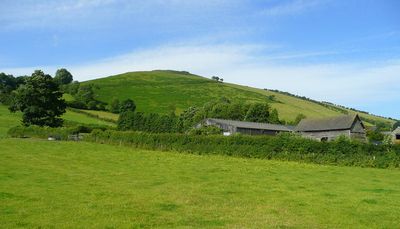
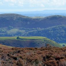
Caer Caradoc, Iron Age hill fort in Church Stretton, England.
Caer Caradoc is an Iron Age fortified settlement perched on a hill above Church Stretton, featuring multiple defensive ramparts and earthworks. The entrance causeway spans across varying terrain levels, creating a visible defensive structure that once protected the occupants.
Construction began during the late Bronze Age and continued into the Iron Age, with defensive works built by ancient British communities. The fort represents pre-Roman occupation and settlement patterns in the region before Roman forces expanded northward.
The site holds connections to Caractacus, the British tribal leader who resisted Roman invasion, with a cave near the summit bearing his name. This link to ancient resistance still shapes how locals and visitors understand the place today.
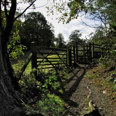
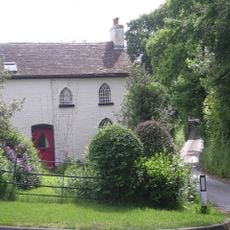
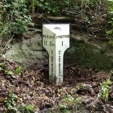
The site is accessible via walking paths from Church Stretton town center or from Cardington, with the steeper ascent starting from the town. Wear sturdy footwear as the trail climbs significantly to reach the hilltop.
The fort sits along the Church Stretton Fault line, a geological feature marked by natural springs that extend across the landscape from Staffordshire to Pembrokeshire. This natural advantage likely drew ancient settlers to choose this hilltop for their stronghold.
Location: Church Stretton
GPS coordinates: 52.37600,-3.01494
Latest update: December 14, 2025 13:05
St Laurence's Church, Church Stretton
22.8 km
St James' Church, Cardington
27.5 km
Rectory Wood
22.8 km
Church of St Mary
27.9 km
Church of St Andrew
23.4 km
Church of All Saints
20.9 km
Church of St Michael and All Angels
26.8 km
St Michael and All Angels
25.1 km
The Royal Oak Public House
27.6 km
Chatwall Hall
29.8 km
Church Stretton War Memorial
23 km
Kings Arms Public House
22.8 km
Chelmick Manor Farmhouse And Outbuildings To South
22.2 km
Yew Tree Inn Public House
24.7 km
Penkridge Hall
28.3 km
Woolstaston Hall And Garden Wall Adjoining To East
26.6 km
The Pound Inn And Attached Barn
28.3 km
Ticklerton War Memorial
23 km
The Priory
22.8 km
Bodbury Ring: a large univallate hillfort on the summit of Bodbury Hill.
23.3 km
Ivydene
27.6 km
Milestone Approximately 90 Metres To North East Of Dudgeley House (That Part In All Stretton)
25.8 km
Milepost At Ngr So 4678 9333
23.6 km
1, The Ancient House
20.9 km
Milestone In Front Of Number 47 High Street (Number 47 Is Not Included)
22.8 km
The Manor House
20.8 km
Milestone At Ngr So 4655 9642 On The B4370
25.8 km
Bowdler's House
26.7 kmVisited this place? Tap the stars to rate it and share your experience / photos with the community! Try now! You can cancel it anytime.
Discover hidden gems everywhere you go!
From secret cafés to breathtaking viewpoints, skip the crowded tourist spots and find places that match your style. Our app makes it easy with voice search, smart filtering, route optimization, and insider tips from travelers worldwide. Download now for the complete mobile experience.
A unique approach to discovering new places❞
— Le Figaro
All the places worth exploring❞
— France Info
A tailor-made excursion in just a few clicks❞
— 20 Minutes