Carnglaze Caverns, Former slate mine and cave system in Liskeard, United Kingdom.
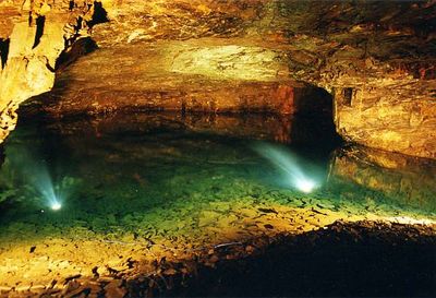
Carnglaze Caverns is a former slate mine with a cave system in Liskeard, Cornwall, extending about 150 meters into a hillside and containing three main chambers. An underground lake with clear water sits at the lowest point, forming a natural focal point within the passages.
The site started as a slate quarry but was repurposed by the Royal Navy during World War II to store rum supplies. This wartime use by the Navy marked a significant chapter in the cave's history and shaped how the first chamber has been used ever since.
The first chamber, once used to store supplies, now serves as a performance venue with seating for about 400 people. Concerts and shows happen regularly here, transforming the cave space into a gathering place for visitors and locals.
The caves stay around 10 degrees Celsius year-round, so bring warm clothing and wear sturdy shoes for the uneven ground. The passages are damp and require careful footing, making appropriate footwear essential for a safe visit.
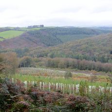
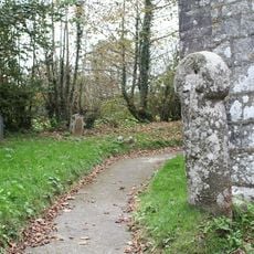
Alongside the underground passages sits a four-acre woodland garden with marked walking trails and a hidden forest dell. The gardens burst into color during spring when thousands of bluebells bloom, adding a natural contrast to the cave exploration.
The community of curious travelers
AroundUs brings together thousands of curated places, local tips, and hidden gems, enriched daily by 60,000 contributors worldwide.