Centre points of the United Kingdom, Geographical landmark in Lancashire, United Kingdom.
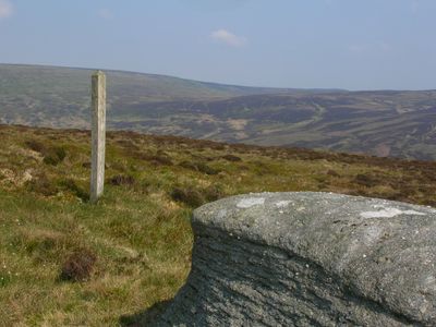
The geographic center of Great Britain sits in a remote area near Whitendale Hanging Stones in Lancashire, surrounded by heather and boggy ground. Its exact location is determined by mathematical calculations that treat all offshore islands as if they were connected to the mainland.
The Ordnance Survey conducted detailed mapping studies in 2005 to determine the precise center points for Great Britain and its separate territories. This scientific approach provided the first accurate mathematical definition of the geographic center.
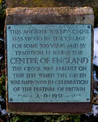
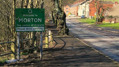
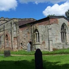
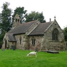
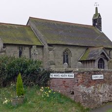
Towns and villages across Britain each claim their own center point, which reflects how communities define themselves in relation to the country as a whole. These competing claims show what people value when thinking about their place within the wider landscape.
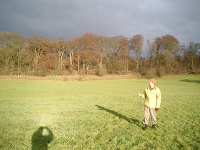
The area is sparsely populated and requires careful planning, as it is remote with few facilities or services nearby. Wear sturdy footwear and be cautious in wet weather, as the boggy ground becomes slippery and muddy.
The center point of the entire United Kingdom actually falls about 1.5 miles into Morecambe Bay in the water, not on land. This happens because the mathematical calculation includes all islands, shifting the center westward.
The community of curious travelers
AroundUs brings together thousands of curated places, local tips, and hidden gems, enriched daily by 60,000 contributors worldwide.