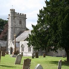
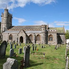
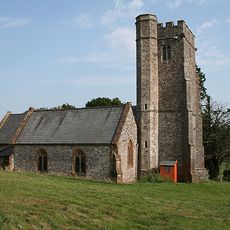
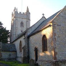
Castle Neroche, Archaeological site in Curland, England
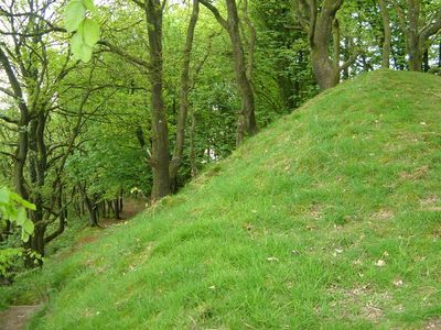
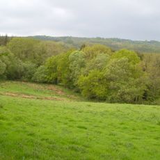
Castle Neroche is an archaeological site perched above the Blackdown Hills, displaying earthwork remains from multiple historical periods stacked on top of each other. The site contains a motte-and-bailey layout with surrounding ramparts that tell the story of how it was built and rebuilt over centuries.
A Norman nobleman called Robert, Count of Mortain, built the castle in the 11th century on this strategic hilltop. The site itself shows signs of much older occupation, with evidence of settlement and defenses from earlier times that were later incorporated into the Norman design.
The name comes from Old English words meaning hunting dogs, showing how this place was once connected to medieval hunting traditions. Walking through the site today, you can still sense that connection to the landscape's working past.
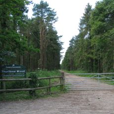
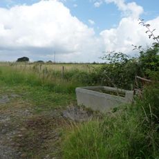
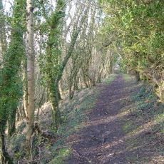
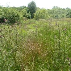
The site is accessible through several walking routes and forest tracks, with a car park that serves as the starting point for exploration. It is best to visit after dry weather, since the paths cross open ground and can become muddy during or after rain.
Early 20th-century excavations at the site uncovered stone tools from the Mesolithic period and an ancient copper tool from the Bronze Age. These surprising finds revealed that people had occupied this hilltop thousands of years before the Normans ever arrived.
The community of curious travelers
AroundUs brings together thousands of curated places, local tips, and hidden gems, enriched daily by 60,000 contributors worldwide.