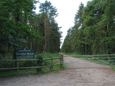
Thurlbear Wood and Quarrylands, Protected woodland and quarry site in Somerset, England.
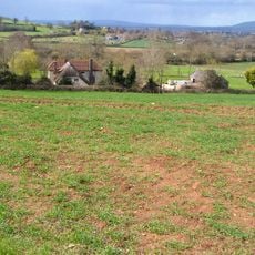
Thurlbear Wood and Quarrylands is a protected woodland with extensive former limestone quarry areas, spanning roughly 27 hectares across Somerset. The landscape combines old forest patches with open quarry zones where different plant communities grow side by side.
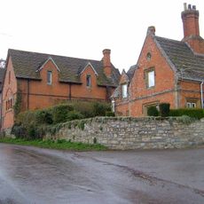
The woodland developed from landscapes managed for centuries, with traces of Medieval earthworks and traditional coppice-style forest management. The former limestone quarrying shaped the ground and created the varied habitats seen today.
The site draws researchers and students who conduct ecological studies and deepen their knowledge of woodland ecosystems. This scientific use shapes how people today view the place as a learning ground for understanding nature.
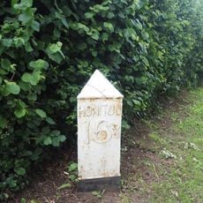
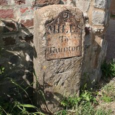
The site is easily accessible with parking options on-site or in nearby Thurlbear village. Visitors should wear sturdy footwear since the ground can be uneven and muddy in places due to the former quarry landscape.
The site hosts an unusually high diversity of butterfly species, benefiting from the mix of forest and open quarry areas. This patchwork of habitats supports an insect community rarely found together in one place.
The community of curious travelers
AroundUs brings together thousands of curated places, local tips, and hidden gems, enriched daily by 60,000 contributors worldwide.