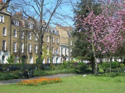
Clapton Square, Garden square in Lower Clapton, London, England
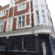
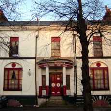
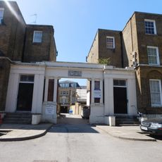
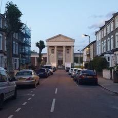
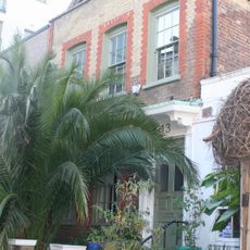
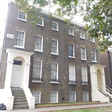
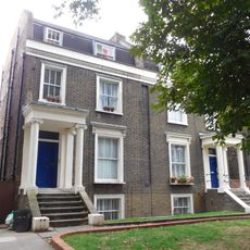
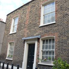
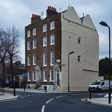
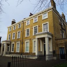
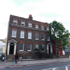
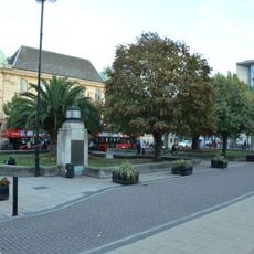
Clapton Square is a garden square in Lower Clapton with residential terraces on three sides and public gardens in its center. The buildings display Georgian architecture with distinctive leaded windows, pilasters, and classical entrance details.
The Tyssen family initiated development of the square in 1816 to house successful merchants and military officers. The Georgian terraced buildings constructed during this period established the character that remains visible today.
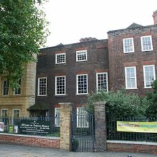
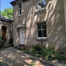
The square attracted notable residents from intellectual and scientific circles during the 1800s, reflecting its appeal to educated families and professionals. The surrounding houses still convey the social standing of those who chose to live in this neighborhood.
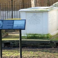
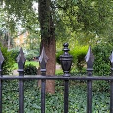
The central gardens are open to the public and feature a restored drinking fountain from the 1890s. The square sits just off Lower Clapton Road, making it easy to find and accessible from nearby transport connections.
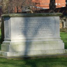
Scientist Joseph Priestley, a Fellow of the Royal Society, lived at the square during the 1790s after relocating from Birmingham. A commemorative plaque on one of the buildings marks his former home, acknowledging his role in advancing chemical and theological studies.
Location: London Borough of Hackney
GPS coordinates: 51.55110,-0.05333
Latest update: December 12, 2025 12:07
Hackney Empire
641 m
Sutton House
352 m
Church of St John-at-Hackney
209 m
St Augustine's Tower
380 m
Custard Apple , Breadfruit and Soursop
399 m
United Reformed Church
164 m
Church of St Luke
590 m
The Plough Inn
503 m
Beaufort Family Tomb, St John At Hackney Churchyard Gardens
217 m
Clarence Cinema
260 m
Hackney War Memorial
153 m
Hunter Family Tomb, St John At Hackney Churchyard Gardens
200 m
Pond House
583 m
Verger's House To United Reformed Church
166 m
26 And 28, Lower Clapton Road E5
130 m
Railings Around Clapton Square Garden
47 m
The Salvation Army Mothers' Hospital, Front Buildings
282 m
Salvation Army Congress Hall
308 m
Loddiges Family Tomb, St John At Hackney Churchyard Gardens
229 m
Circle House
591 m
224 And 226, Dalston Lane E8
656 m
216-222, Dalton Lane E8
687 m
4, Sylvester Path E8
591 m
158 And 160, Lower Clapton Road E5
558 m
126 And 128, Lower Clapton Road E5
379 m
Wall And Public Conveniences
650 m
140 And 142, Homerton High Street E9
697 m
Hackney Town Hall Civic Garden Walls And Lamp Piers, To Western Elevation
704 mVisited this place? Tap the stars to rate it and share your experience / photos with the community! Try now! You can cancel it anytime.
Discover hidden gems everywhere you go!
From secret cafés to breathtaking viewpoints, skip the crowded tourist spots and find places that match your style. Our app makes it easy with voice search, smart filtering, route optimization, and insider tips from travelers worldwide. Download now for the complete mobile experience.
A unique approach to discovering new places❞
— Le Figaro
All the places worth exploring❞
— France Info
A tailor-made excursion in just a few clicks❞
— 20 Minutes