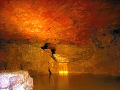
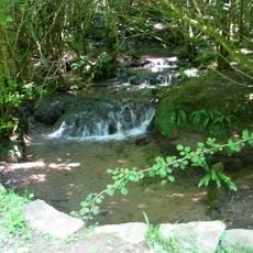
Clearwell Caves, Cave system in Forest of Dean, England
Clearwell Caves is a cave system in Forest of Dean consisting of six interconnected mines: Clearwell, Old Ham, Lambsquay, Old Bow, Oak Pit, and New Dun. Ten illuminated chambers are open to regular visitors, while deeper sections require guidance from trained cave specialists and proper safety equipment.
Mining in these caves started in the Iron Age with ochre extraction around 100 BC and expanded significantly during the 19th century. The extraction of colored pigments shaped the economic importance of the site over many centuries.
The caves serve regularly as performance venues for music concerts and theatrical shows, using the underground setting to create distinctive acoustic effects. Visitors can experience seasonal cultural events like Christmas or Easter celebrations, which are specially staged within these spaces.
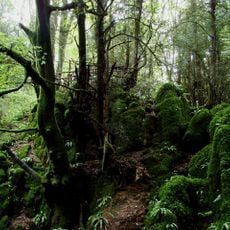
Visitors should expect slippery floors and cool underground temperatures, so sturdy footwear and a jacket are essential. Visiting during drier months makes the paths easier to navigate.
The site continues to produce colored ochres, including rare deep purple pigments, which artists purchase and use in their work. This ongoing production connects the old mining tradition with contemporary artistic practice.
The community of curious travelers
AroundUs brings together thousands of curated places, local tips, and hidden gems, enriched daily by 60,000 contributors worldwide.