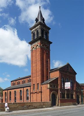
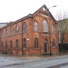
Castlefield Congregational Chapel, Victorian chapel in Castlefield, England
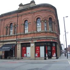
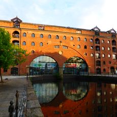
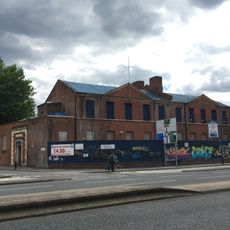
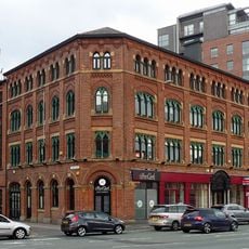
Castlefield Congregational Chapel is a red-brick religious building on Deansgate in Manchester. The structure displays typical characteristics of 19th century ecclesiastical architecture with functional spaces designed for worship and gatherings.
The building was constructed in 1858 during Manchester's industrial expansion and reflected the era's religious growth. It was designed by a local architect and formed part of the broader wave of chapel building across the expanding city.
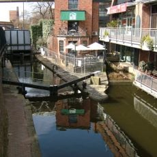
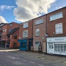
The building served as a community gathering place for many years and still shapes the character of the street today. Its red brick exterior stands out distinctly among the surrounding modern structures.
The building is no longer open for worship and now serves as office space accessible to work-related visitors. You can view the exterior and heritage architecture from the street at any time.
During the 1980s the building was converted into a recording studio and became a significant location for music production in that era. This transformation showed how historic structures found new purpose in Manchester's changing economy.
Location: Manchester
Architects: Edward Walters
Official opening: 1858
GPS coordinates: 53.47421,-2.25262
Latest update: December 13, 2025 12:23
Beetham Tower
195 m
Mamucium
230 m
Science and Industry Museum
357 m
The Briton's Protection
364 m
Castlefield Viaduct
156 m
Instituto Cervantes
208 m
Axis Tower
267 m
North Pennine Ring
269 m
Numbers 25 To 31 And Attached Former Chapel
378 m
Rochdale Canal Lock Number 92 And Castle Street Bridge
216 m
Castlefield Gallery
92 m
Merchants Warehouse
231 m
Rochdale Canal Lock Number 91 At East End Of Gaythorn Tunnel
131 m
The Giants Basin
381 m
Middle Warehouse, At Former Castle Field Goods Yard
250 m
Museum Of Science And Industry, Air And Space Museum
266 m
Boundary Stone On Knott Mill Bridge
100 m
Bridgewater Canal Offices
221 m
Power Hall of Museum of Science and Industry
341 m
11-17, St John Street
389 m
Castlefield Canal Basin
41 m
Former Market Hall
212 m
19, St John Street
390 m
Rochdale Canal Lock Number 90, Approximately 30 Metres West Of Albion Bridge
263 m
235-291, Deansgate
257 m
13-17, Albion Street
333 m
29-41, Liverpool Road
190 m
Former St Mathews Sunday School
260 mVisited this place? Tap the stars to rate it and share your experience / photos with the community! Try now! You can cancel it anytime.
Discover hidden gems everywhere you go!
From secret cafés to breathtaking viewpoints, skip the crowded tourist spots and find places that match your style. Our app makes it easy with voice search, smart filtering, route optimization, and insider tips from travelers worldwide. Download now for the complete mobile experience.
A unique approach to discovering new places❞
— Le Figaro
All the places worth exploring❞
— France Info
A tailor-made excursion in just a few clicks❞
— 20 Minutes