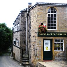
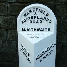
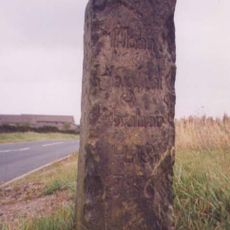
Colne Valley, Natural valley in West Yorkshire, England
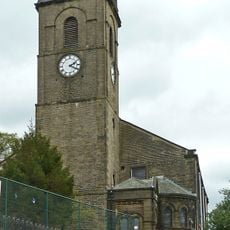
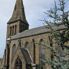
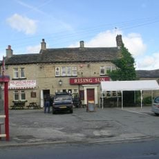
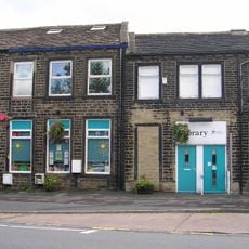
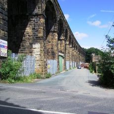
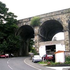
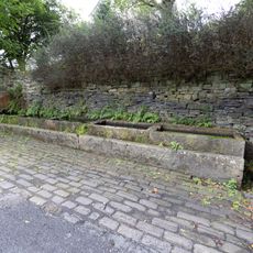
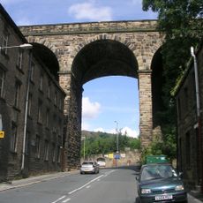
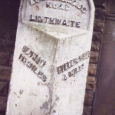
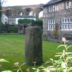
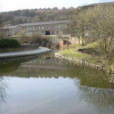
Colne Valley is a valley in West Yorkshire that extends along the River Colne between Marsden and Huddersfield, marked by steep hillsides and green fields. The area contains restored canals, old mill buildings, and small settlements nestled in the landscape, creating a mix of natural and industrial heritage.
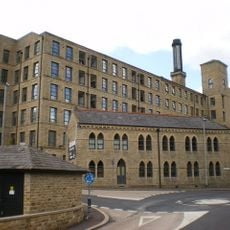
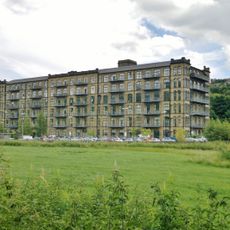
The valley began as a hand loom weaving center before transforming into water-powered textile manufacturing during the Industrial Revolution. This shift accelerated after canals were built to transport materials more efficiently to and from the mills and workshops.
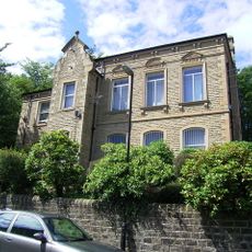
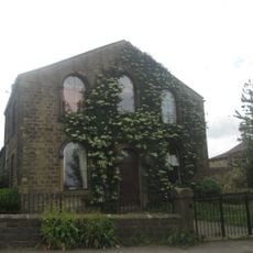
The valley's identity is rooted in its textile heritage, as communities here built their lives around weaving and fabric production for generations. Walking through the settlements today, you still see former mill buildings and worker cottages that reveal how this industry shaped daily routines and family structures.
The valley is best explored on foot or by bicycle, with walking paths across moorland and along restored canals available throughout the area. Roads can be steep and narrow, so wear suitable footwear and allow extra time for climbing and descending the hillsides.
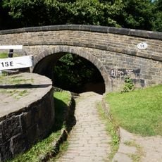
The Standedge Canal Tunnel running beneath the valley is one of England's longest and deepest canal tunnels and can only be traversed by boat. Visitors can take a tunnel boat ride to experience the dark passage beneath the moorland, an activity that often gets overlooked in favor of surface walks.
The community of curious travelers
AroundUs brings together thousands of curated places, local tips, and hidden gems, enriched daily by 60,000 contributors worldwide.