Cockroad Wood Castle, Medieval motte-and-bailey castle in Charlton Musgrove, England.
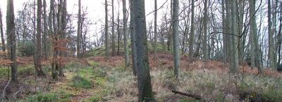
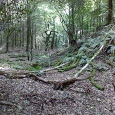
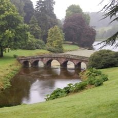
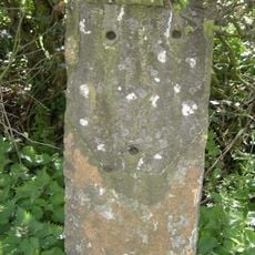
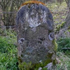
Cockroad Wood Castle is a medieval fortification in Charlton Musgrove consisting of a raised mound as its focal point, flanked by two adjacent baileys positioned in a linear arrangement. The site includes defensive features such as ditching that separated the functional areas of this Norman stronghold.
This fortification was established in the period following the Norman Conquest of 1066 when new lords consolidated control over English territories through military installations. Walter of Douai held sway over the surrounding lands during the late 11th century, utilizing such strongholds to maintain regional authority.
The castle belonged to a network of Norman fortifications, including Ballands and Castle Orchard, which controlled the local Somerset region through military presence.
The site can be reached and explored on foot to view the earthworks and mounds across the terrain. For current access conditions and any restrictions, check the Historic England website before planning a visit.
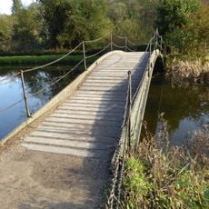
The unusual dual-bailey arrangement positioned along a ridge is relatively rare and suggests a specialized defensive strategy that differs from typical Norman strongholds. Evidence of wooden connectors bridging these separate areas demonstrates that the fortification functioned as an integrated system despite its dispersed layout.
The community of curious travelers
AroundUs brings together thousands of curated places, local tips, and hidden gems, enriched daily by 60,000 contributors worldwide.