Enable Location

We need your location to show you interesting places around you

Discover nearby places

Find interesting locations and hidden gems around you

Precise directions

Get accurate directions and distances to places

Your location is never shared with other users. It's only used when you tap the location button.

Culverhay Castle

Log in to your account

Start exploring — it's free

Trusted by 63,018 travelers worldwide

Continue with Google
Continue with Apple
or

We will send you a code to connect

By continuing, you accept our Terms and Conditions and our Privacy Policy

Check your inbox

We've sent a pincode in your inbox. Please enter the code below.

Culverhay Castle
Discussion Reviews 1 Photos
1.1k Popularity

Culverhay Castle, castle in Englishcombe, Somerset, England, UK

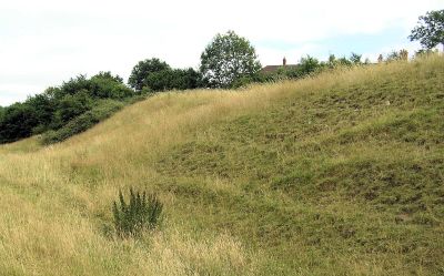
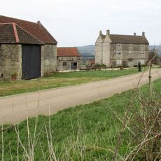
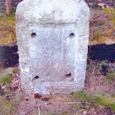
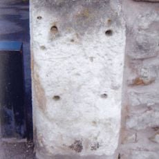
Culverhay Castle, also called Englishcombe Castle, is a medieval ringwork fortification in Somerset with earthworks, ditches, and stone remains at its site. The structure originally consisted of a central area surrounded by a circular bank and ditch, along with a round stone tower and a low wall that protected the interior.

The site was built between the late 11th and early 13th century, making it over 900 years old. An archaeologist named Nigel Pounds conducted excavations in 1938 that uncovered parts of the castle's history and led to its recognition as a protected monument today.

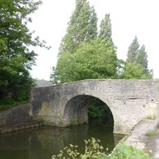
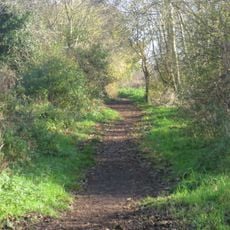
The name Englishcombe Castle comes from the village where it sits. The earthworks and ditches you see today show how medieval people built their fortifications using the materials they had available.

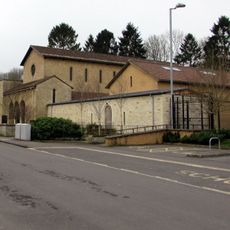
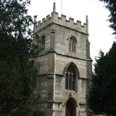
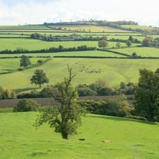
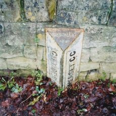
The site sits in the quiet village of Englishcombe in Somerset and is easy to locate by its position east of the local church. Access to the earthworks is open, but it is important to respect the protected site and avoid disturbing the ruins.

It is believed a deer park was attached to the castle, a large outdoor space used for hunting and leisure in medieval times. Such parks were common among wealthy landowners and show the site's importance beyond just defense.

The community of curious travelers

AroundUs brings together thousands of curated places, local tips, and hidden gems, enriched daily by 60,000 contributors worldwide.

Start exploring
Location
GPS coordinates
51.36580,-2.40370
Latest update
February 9, 2026 11:07
Around this place
Twerton Park
United Kingdom

Twerton Park

1.6 km
Church of Our Lady & St Alphege, Bath
United Kingdom

Church of Our Lady & St Alphege, Bath

2.1 km
Weston Lock
United Kingdom

Weston Lock

1.9 km
Church of St Peter, Englishcombe
United Kingdom

Church of St Peter, Englishcombe

401 m
Church of St Michael and All Angels
United Kingdom

Church of St Michael and All Angels

1.7 km
Duncorn Hill
United Kingdom

Duncorn Hill

1.4 km
Chapel Of St Martin
United Kingdom

Chapel Of St Martin

2.4 km
Fielding's Road footbridge
United Kingdom

Fielding's Road footbridge

2.1 km
Brook Road Bridge
United Kingdom

Brook Road Bridge

2.2 km
The Herman Miller Factory
United Kingdom

The Herman Miller Factory

2.2 km
Locksbrook Railway Bridge
United Kingdom

Locksbrook Railway Bridge

2.4 km
Former Cabinet Makers Factory
United Kingdom

Former Cabinet Makers Factory

2.1 km
The Weston Public House
United Kingdom

The Weston Public House

2.4 km
Locksbrook Bridge
United Kingdom

Locksbrook Bridge

2 km
Bellotts Road Bridge
United Kingdom

Bellotts Road Bridge

2 km
Emmanuel Church
United Kingdom

Emmanuel Church

2.4 km
St Philip & St James Church
United Kingdom

St Philip & St James Church

1.7 km
Group Of 3 Boundary Posts On A367,At Junction With Combe Hay Lane,At National Grid Reference St 7345 6187
United Kingdom

Group Of 3 Boundary Posts On A367,At Junction With Combe Hay Lane,At National Grid Reference St 7345 6187

1.9 km
Wansdyke: section 1230yds (1120m) eastwards from Burnt House Inn
United Kingdom

Wansdyke: section 1230yds (1120m) eastwards from Burnt House Inn

2.4 km
St Barts
United Kingdom

St Barts

2.3 km
Tithe Barn Attached To South End Of Rectory Farmhouse
United Kingdom

Tithe Barn Attached To South End Of Rectory Farmhouse

421 m
Bath Blitz Memorial, Somerset
United Kingdom

Bath Blitz Memorial, Somerset

2.3 km
Twerton Wood Tunnel West Portal
United Kingdom

Twerton Wood Tunnel West Portal

2.2 km
Boundary Post On A367 At National Grid Reference St 7338 6167
United Kingdom

Boundary Post On A367 At National Grid Reference St 7338 6167

1.9 km
Oldfield Park Memorial Garden, Bath
United Kingdom

Oldfield Park Memorial Garden, Bath

2.2 km
Park Farmhouse
United Kingdom

Park Farmhouse

2.3 km
Milestone, Roman Road, between roundabout at Park & Ride and entrance to Odd Down Recycling site
United Kingdom

Milestone, Roman Road, between roundabout at Park & Ride and entrance to Odd Down Recycling site

1.9 km
Milestone, High Street, Twerton, at corner of Clyde Gardens
United Kingdom

Milestone, High Street, Twerton, at corner of Clyde Gardens

1.7 km
Show the full map
Reviews
Share your experience

No review yet

Discussions
Start a discussion...

No discussion yet

« Culverhay Castle - castle in Englishcombe, Somerset, England, UK » is provided by Around Us (aroundus.com). Images and texts are derived from Wikimedia project under a Creative Commons license. You are allowed to copy, distribute, and modify copies of this page, under the conditions set by the license, as long as this note is clearly visible.

Discover hidden gems everywhere you go!

From secret cafés to breathtaking viewpoints, skip the crowded tourist spots and find places that match your style. Our app makes it easy with voice search, smart filtering, route optimization, and insider tips from travelers worldwide. Download now for the complete mobile experience.

Around Us App Screenshot

A unique approach to discovering new places

Le Figaro

All the places worth exploring

France Info

A tailor-made excursion in just a few clicks

20 Minutes

Around Us
Travel Guide & Maps
Download

Send to your phone

QR Code
1

Open the camera app on your mobile.

2

Point at the QR code with your camera. A notification will appear.

3

Tap the notification to open the link.