Enable Location

We need your location to show you interesting places around you

Discover nearby places

Find interesting locations and hidden gems around you

Precise directions

Get accurate directions and distances to places

Your location is never shared with other users. It's only used when you tap the location button.

Cumberland Basin

Log in to your account

Start exploring — it's free

Trusted by 61,389 travelers worldwide

Continue with Google
Continue with Apple
or

We will send you a code to connect

By continuing, you accept our Terms and Conditions and our Privacy Policy

Check your inbox

We've sent a pincode in your inbox. Please enter the code below.

Cumberland Basin

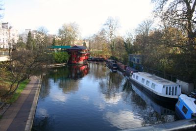
Cumberland Basin, Canal basin near Euston Station, London, England

Description

Cumberland Basin is a former canal basin near Euston Station that was once part of the Regent's Canal network. It was connected to the main waterway system via a canal arm roughly 1 kilometer long and served as an important loading point for goods.

History

The basin was excavated in 1813 to provide transport access to Cumberland Market and the New Road. It remained operational until 1942, when it was permanently closed.

Culture

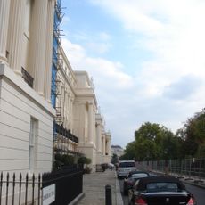
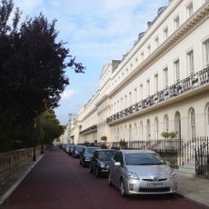
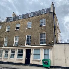
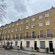
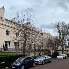
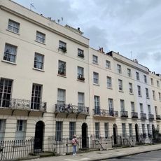
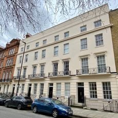
The basin area transformed after World War I when the Crown Estate developed housing projects specifically designated for returning war veterans.

Practical

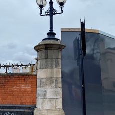
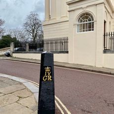
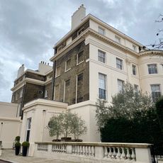
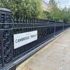
The location is now a residential area easily reached from Euston Station. Walking through the neighborhood reveals preserved bridges and streets that follow the path of the former waterway.

Did you know?

During World War II, the remaining water in the former basin was used to supply pumps that protected London's West End buildings during air raids. This practical repurposing of the disused waterway showed how old infrastructure could still serve the city in times of need.

GPS coordinates
51.53020,-0.14250
Latest update
December 14, 2025 14:25

AroundUs brings together thousands of curated places, local tips, and hidden gems, enriched daily by 60,000 contributors worldwide. Discover all places nearby (United Kingdom).

Around this place
Carreras Cigarette Factory
United Kingdom

Carreras Cigarette Factory

412 m
Cumberland Terrace
United Kingdom

Cumberland Terrace

350 m
Chester Terrace
United Kingdom

Chester Terrace

241 m
St George's Cathedral
United Kingdom

St George's Cathedral

135 m
Cambridge Terrace
United Kingdom

Cambridge Terrace

377 m
Prince of Wales, Euston
United Kingdom

Prince of Wales, Euston

342 m
Camden Green Fair
United Kingdom

Camden Green Fair

358 m
Church of St Mary Magdalene
United Kingdom

Church of St Mary Magdalene

468 m
Carreras Cigarette Factory cat statues
United Kingdom

Carreras Cigarette Factory cat statues

412 m
Monument To The Christie Family In St James Gardens
United Kingdom

Monument To The Christie Family In St James Gardens

395 m
Animal Drinking Trough Opposite Regents Park Barracks
United Kingdom

Animal Drinking Trough Opposite Regents Park Barracks

303 m
Obelisk To Baron Southampton In South West Corner Of St James Gardens
United Kingdom

Obelisk To Baron Southampton In South West Corner Of St James Gardens

392 m
Prince George Of Cumberland Public House
United Kingdom

Prince George Of Cumberland Public House

215 m
Railings To Garden Forecourt Of Numbers 1-12
United Kingdom

Railings To Garden Forecourt Of Numbers 1-12

196 m
Numbers 63-77 And Attached Railings
United Kingdom

Numbers 63-77 And Attached Railings

352 m
Pair Of Stone Piers With Lamp Standards To West End Of Mornington Street Railway Bridge
United Kingdom

Pair Of Stone Piers With Lamp Standards To West End Of Mornington Street Railway Bridge

469 m
Three lamp posts and two bollards
United Kingdom

Three lamp posts and two bollards

218 m
Four Boundary Markers On North And South Sides Of Road
United Kingdom

Four Boundary Markers On North And South Sides Of Road

419 m
Numbers 1-12 And Attached Railings
United Kingdom

Numbers 1-12 And Attached Railings

188 m
Numbers 4 (the Pastors House) And 5 (st Katherines Hall) And Attached Screen Walls
United Kingdom

Numbers 4 (the Pastors House) And 5 (st Katherines Hall) And Attached Screen Walls

485 m
79-85, Albany Street
United Kingdom

79-85, Albany Street

324 m
Numbers 36-48 And Attached Railings
United Kingdom

Numbers 36-48 And Attached Railings

472 m
Animal Drinking Trough At Southern Junction With Hampstead Road
United Kingdom

Animal Drinking Trough At Southern Junction With Hampstead Road

333 m
Numbers 1-4 And Attached Balustrades And Railings
United Kingdom

Numbers 1-4 And Attached Balustrades And Railings

228 m
St Mary Magdalene's Church War Memorial
United Kingdom

St Mary Magdalene's Church War Memorial

472 m
Railings To Forecourt Garden Of Numbers 1-10
United Kingdom

Railings To Forecourt Garden Of Numbers 1-10

396 m
Two Lamp Posts
United Kingdom

Two Lamp Posts

227 m
Numbers 55-61 And Attached Railings
United Kingdom

Numbers 55-61 And Attached Railings

386 m
Show the full map
« Cumberland Basin - Canal basin near Euston Station, London, England » is provided by Around Us (aroundus.com). Images and texts are derived from Wikimedia project under a Creative Commons license. You are allowed to copy, distribute, and modify copies of this page, under the conditions set by the license, as long as this note is clearly visible.

Discover hidden gems everywhere you go!

From secret cafés to breathtaking viewpoints, skip the crowded tourist spots and find places that match your style. Our app makes it easy with voice search, smart filtering, route optimization, and insider tips from travelers worldwide. Download now for the complete mobile experience.

Around Us App Screenshot

A unique approach to discovering new places

Le Figaro

All the places worth exploring

France Info

A tailor-made excursion in just a few clicks

20 Minutes

Around Us
Travel Guide & Maps
Download

Send to your phone

QR Code
1

Open the camera app on your mobile.

2

Point at the QR code with your camera. A notification will appear.

3

Tap the notification to open the link.