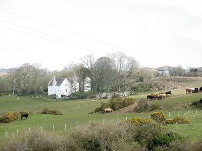
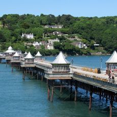
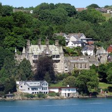
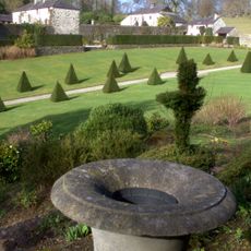
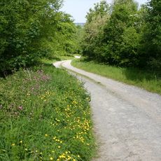
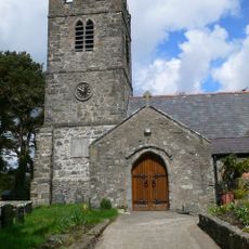
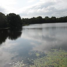
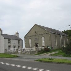
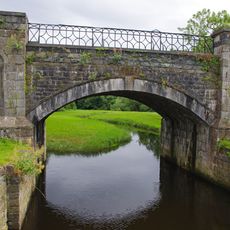
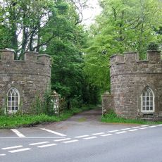
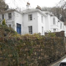
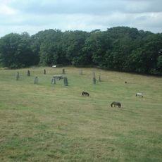
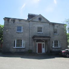
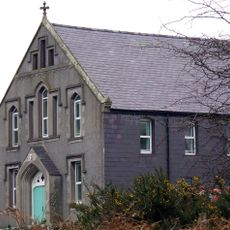
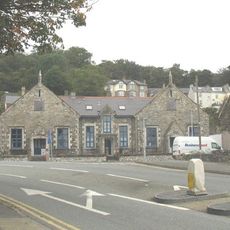
Cwm Cadnant, community in Anglesey
Location: Isle of Anglesey
Inception: April 1, 1974
Shares border with: Pentraeth, Penmynydd, Llanddona, Beaumaris Community, Menai Bridge
GPS coordinates: 53.25922,-4.15553
Latest update: March 27, 2025 01:06
Garth Pier
3.2 km
Plas Rhianfa
2.5 km
Plas Cadnant
2.7 km
Hafoty
2.4 km
St Sadwrn's Church
930 m
Llandegfan Maen Hir
2 km
Hendrefor Burial Chambers
2 km
Bulkeley Monument
3.1 km
Penucheldref Chapel
1.6 km
Llyn Llwydiarth
3.2 km
Coed Cadnant
2.3 km
Mynydd Llwydiarth
3.7 km
Church of St Tegfan
1.4 km
Llyn Pen-y-Parc
2.3 km
Penygarnedd Chapel
2.8 km
Pont Penrhyn
4.3 km
John Phillips Hall
3.6 km
Turret Lodge (pair of lodges)
2.9 km
Viewing platform and colonnade on the S side of Baron Hill
3.5 km
No.1 Bron Menai, Menai Road
3.3 km
No.2 Bron Menai,Menai Road
3.3 km
Former Communal Lavatory
4.1 km
Elusendai
2.7 km
Garth Jetty
3.3 km
Bangor Gorsedd Circle
3.4 km
Port House
4.3 km
Sling Chapel
3.1 km
Former Garth Primary School,Garth Road
3.5 kmReviews
Visited this place? Tap the stars to rate it and share your experience / photos with the community! Try now! You can cancel it anytime.
Discover hidden gems everywhere you go!
From secret cafés to breathtaking viewpoints, skip the crowded tourist spots and find places that match your style. Our app makes it easy with voice search, smart filtering, route optimization, and insider tips from travelers worldwide. Download now for the complete mobile experience.
A unique approach to discovering new places❞
— Le Figaro
All the places worth exploring❞
— France Info
A tailor-made excursion in just a few clicks❞
— 20 Minutes