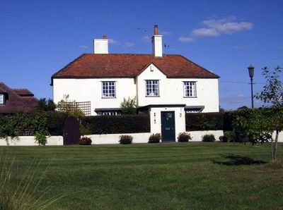
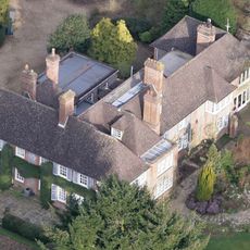
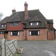
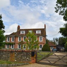
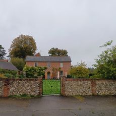
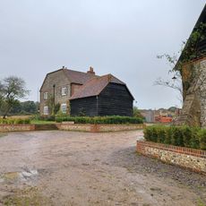
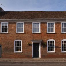
Crocker End House, Victorian country house in Nettlebed, England
Crocker End House is a Victorian country house in Nettlebed set within roughly 4 acres of mixed grounds, including a formal garden and tennis court alongside woodland. The property's western edge borders Crocker End Green, a wooded common that extends into the broader Chilterns landscape.
Built around 1870, the house replaced an earlier rectory that once served the village. From 1989 onward, it became a private residence for members of the royal family for several decades.
The house reflects how Victorian families lived with large estates and personal woodlands as part of their everyday surroundings. The blend of private grounds and access to the neighboring common land shows the relationship between country homes and their local landscape.
The grounds are best explored on foot, with pathways leading through both the formal garden and into the woodland areas. The location near Crocker End Green provides direct access to wider walking routes through the Chilterns for those wanting to extend their visit.
The presence of a private tennis court on the grounds was a mark of considerable wealth during the Victorian era. Such recreational facilities allowed residents to enjoy leisure activities without leaving their own land, a luxury available only to the most affluent families.
The community of curious travelers
AroundUs brings together thousands of curated places, local tips, and hidden gems, enriched daily by 60,000 contributors worldwide.