Nuffield Place, Historic house in Nuffield, Oxfordshire, England
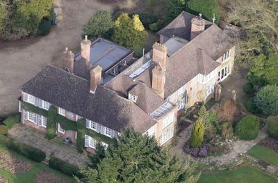
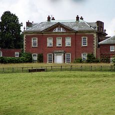
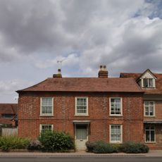
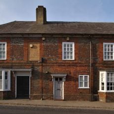
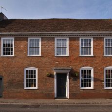
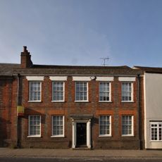
Nuffield Place is a country house in the village of Nuffield, Oxfordshire, enlarged by architect Oswald Milne in the 1930s for its then owner. The rooms are still filled with original furnishings, decorations, and personal belongings, giving the house the feel of a home that was lived in until recently.
The house was built in 1914 and took on its current character after its most famous resident bought it in 1933 and had it substantially reworked. He lived there until his death in 1963, leaving the property much as he had arranged it.
The place takes its name from the village of Nuffield, where William Morris, the founder of Morris Motors, chose to settle and live out his later years. Walking through the rooms, visitors can see how a wealthy industrialist of the early 20th century furnished and used his private home.
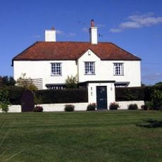
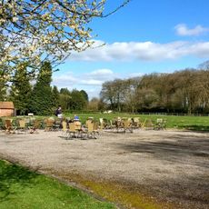
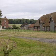
The house is in the village of Nuffield, roughly one mile west of Nettlebed, and is open to visitors on most days. The garden, with its old trees, yew hedges, and rose pergola, is easy to walk around and makes a good complement to the indoor visit.
Behind a cupboard door in one of the bedrooms, there is a small workshop fitted with metalworking tools and a vice. This detail shows that the owner, despite his wealth and status, kept a very hands-on, mechanical side to his character throughout his life.
The community of curious travelers
AroundUs brings together thousands of curated places, local tips, and hidden gems, enriched daily by 60,000 contributors worldwide.