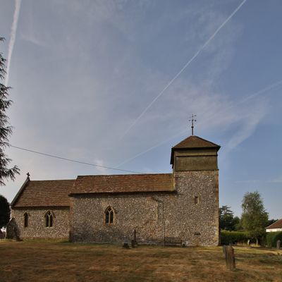
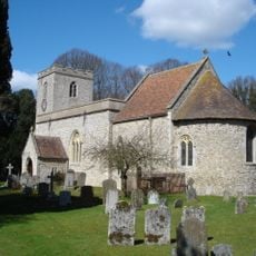
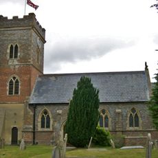
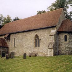
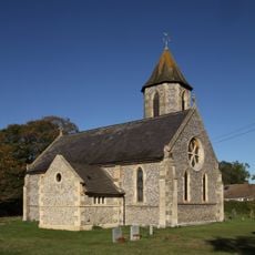
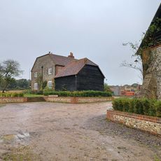
Nuffield, village and civil parish in South Oxfordshire, England
Location: South Oxfordshire
Shares border with: Ewelme, Benson, Crowmarsh, Ipsden, Stoke Row, Highmoor, Nettlebed, Swyncombe
Website: http://nuffieldparish.org
GPS coordinates: 51.58200,-1.03600
Latest update: March 9, 2025 16:07
Braziers Park
4.6 km
Nuffield Place
1 km
St Peter and St Paul, Checkendon
4.4 km
Nuffield Place (National Trust)
1.1 km
The White Hart Hotel
3.2 km
The Crooked Billet Public House
3.5 km
Church of St Mary
3.9 km
Church of the Holy Trinity
170 m
Church of St Bartholomew, Nettlebed
3 km
Church of St Botolph
3.1 km
Church of St John the Evangelist
3.6 km
Stoke Row Independent Chapel
3.8 km
The Crown Public House
683 m
Maharajah's Well
3.5 km
Nettlebed Kiln
3.3 km
Ipsden war memorial
4 km
Myrtles
3.2 km
The Old Vicarage
4.1 km
Howberry Wood Farmhouse
2.6 km
English Farmhouse
1.6 km
1 and 3, High Street
3.3 km
25, High Street
3.2 km
7, High Street
3.3 km
Grim's Ditch; portion from Mongewell Park Lodge to S of Nuffield church
2.6 km
Checkendon War Memorial Lychgate
4.5 km
Howberry Wood Farm, Granary Approximately 5 Metres East Of Farmhouse
2.6 km
Milestone, High Street; W of church, E of petrol station
2.9 km
Milestone, Port Hill; 20m W of lane to Hayden Farm
1.5 kmReviews
Visited this place? Tap the stars to rate it and share your experience / photos with the community! Try now! You can cancel it anytime.
Discover hidden gems everywhere you go!
From secret cafés to breathtaking viewpoints, skip the crowded tourist spots and find places that match your style. Our app makes it easy with voice search, smart filtering, route optimization, and insider tips from travelers worldwide. Download now for the complete mobile experience.
A unique approach to discovering new places❞
— Le Figaro
All the places worth exploring❞
— France Info
A tailor-made excursion in just a few clicks❞
— 20 Minutes