
Combpyne Rousdon, civil parish in Devon, UK
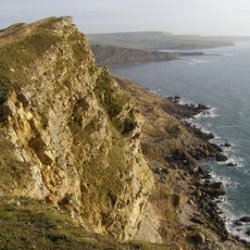
Jurassic Coast
1.8 km
Musbury Castle
2.7 km
Ware Cliffs
3.3 km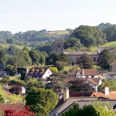
Church of St Peter and St Paul
3.5 km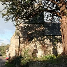
Church of St Mary
897 m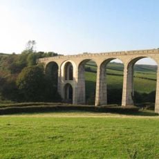
Cannington Viaduct
2.3 km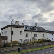
Devon Hotel
3.5 km
Barn Immediately North East Of Court Hall Farm House
3.6 km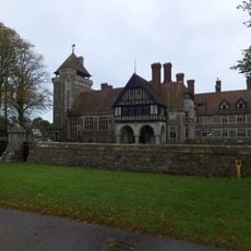
All Hallows School Including Former Stables Adjoining West And Forecourt Area Wall And Gate Piers To North
1.1 km
Pinhay
2.2 km
West Lodges At All Hallows School
1.4 km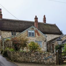
Rest Harrow
3.3 km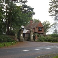
North Lodge And Gate Piers At All Hallows School
426 m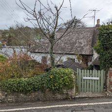
Horseshoe Cottage Sunnybanks
3.5 km
Underhill Dairy Farm House
3.3 km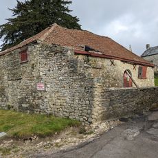
Stable Range South Of Court Hall Farm House
3.5 km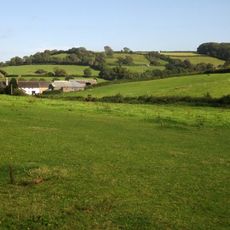
Higher Bruckland Farmhouse Including Adjoining Outbuilding To South East
2 km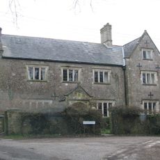
Dowlands Farmhouse
1.5 km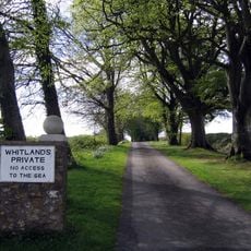
Whitlands
1.3 km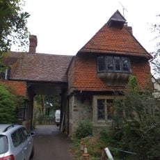
East Lodges At All Hallows School
988 m
Mile Post North Of North Lodge
394 m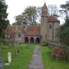
Film Studio At All Hallows School The Old Church
1.1 km
Tor Cottage Wadleigh House
3.5 km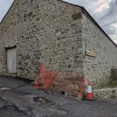
Cattleshed South South East Of Court Hall Farm House
3.5 km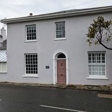
Elton
3.7 km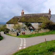
Lower Farmhouse
1.6 km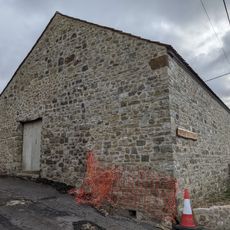
Cattle shed South East Of Court Hall Farm House
3.6 km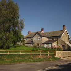
Lower Bruckland Farm House Including Outbuilding Adjoining North East
2.6 kmVisited this place? Tap the stars to rate it and share your experience / photos with the community! Try now! You can cancel it anytime.
Discover hidden gems everywhere you go!
From secret cafés to breathtaking viewpoints, skip the crowded tourist spots and find places that match your style. Our app makes it easy with voice search, smart filtering, route optimization, and insider tips from travelers worldwide. Download now for the complete mobile experience.

A unique approach to discovering new places❞
— Le Figaro
All the places worth exploring❞
— France Info
A tailor-made excursion in just a few clicks❞
— 20 Minutes