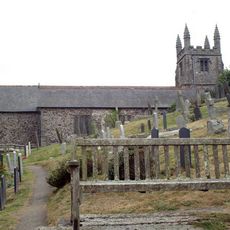
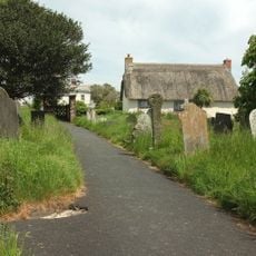
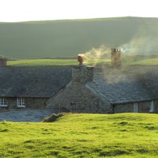
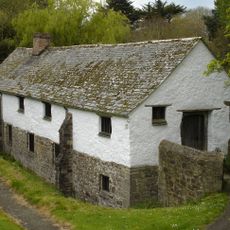
Dizzard, Rural area in St Gennys, Great Britain.
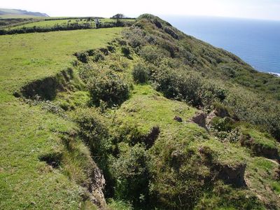
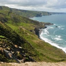
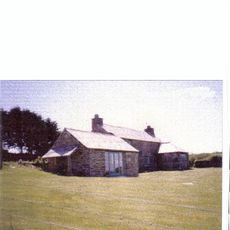
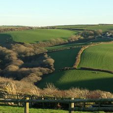
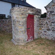
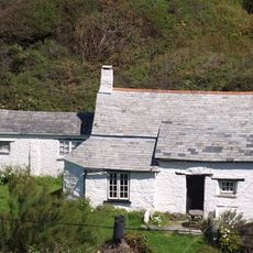
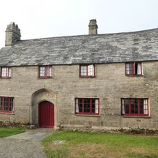
Dizzard is a rural area near St Gennys on the Atlantic coast, home to five separate farms spread along steep cliffs. The landscape blends working farmland with natural woodlands, creating a patchwork of fields and trees throughout the region.
During the early 20th century, the area served as a heronry, establishing its importance in local natural history and wildlife. This period marked its significance as a habitat for breeding birds and shaped its ecological identity.
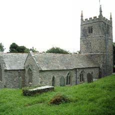
The name comes from the Cornish word Dyserth, reflecting the linguistic heritage of this agricultural farming region. This connection to the land shapes how the community relates to their surroundings and their farming practices.
The area is accessed via a minor road connecting Wainhouse Corner to Millook, which forms part of National Cycle Route 3. Visitors should wear sturdy footwear, as coastal paths can be uneven and slippery, especially after wet weather.
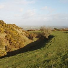
The area harbors over 130 different lichen species, many found only in scattered locations across north Cornwall and Devon. This rare diversity makes it a noteworthy spot for anyone interested in studying lichens and local natural habitats.
Location: St Gennys
GPS coordinates: 50.75000,-4.61000
Latest update: December 14, 2025 11:03
Church of St Julitta, St Juliot
7.2 km
Boscastle to Widemouth
1.7 km
Warbstow Bury
8.1 km
Penpol
8 km
Penhallam
6.5 km
Church of the Nativity of the Blessed Virgin Mary
7.7 km
St James' Church, Jacobstow
4.3 km
Church of St Denis, Otterham
7 km
Church of St Neot
4.6 km
St Werburgh's Church, Warbstow
8.7 km
Our Lady and St Anne's Church, Widemouth Bay
6.1 km
St Michael and All Angels' Church, Lesnewth
8 km
Parish Church of St Marwenne
8.7 km
Church of St Genesius
1.2 km
Tremayna Methodist Chapel
1 km
Rose Cottage
6.7 km
Rose Cottage
8.7 km
Warbstow War Memorial
8.5 km
Woolston Viaduct
8.1 km
Trehole Farmhouse
3 km
Wayside cross in St Juliot's churchyard, 10m south of the church
7.2 km
Well House About 4 Metres East Of The Old College
7.8 km
The Old Mill
3.4 km
The Old College, Outbuilding Adjoining Left Gable End Of College, Wall Adjoining Right Front Of College
7.8 km
Lych Gate to Churchyard of Church of St Marwenne
8.7 km
Woodknowle
8.7 km
Trevigue
3.5 km
The Guildhouse
4.5 kmVisited this place? Tap the stars to rate it and share your experience / photos with the community! Try now! You can cancel it anytime.
Discover hidden gems everywhere you go!
From secret cafés to breathtaking viewpoints, skip the crowded tourist spots and find places that match your style. Our app makes it easy with voice search, smart filtering, route optimization, and insider tips from travelers worldwide. Download now for the complete mobile experience.
A unique approach to discovering new places❞
— Le Figaro
All the places worth exploring❞
— France Info
A tailor-made excursion in just a few clicks❞
— 20 Minutes