Derbyshire Dales National Nature Reserve, National nature reserve in Peak District, England.
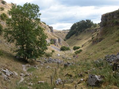
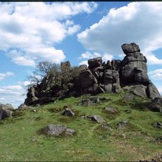
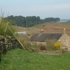
Derbyshire Dales National Nature Reserve comprises five limestone valleys totaling over 380 hectares, each supporting different habitats and geological features. Grasslands, woodlands, flowing streams, and visible rock formations shape the character of this protected landscape.
The limestone valleys formed millions of years ago when marine environments dominated this region, leaving behind fossilized layers and rock formations visible today. This deep geological past continues to shape the physical structure of the landscape.
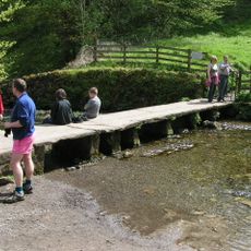
The valleys hold deep meaning for walkers and nature enthusiasts who come to experience the land on foot through its changing seasons. Locals view these limestone dales as places where the rhythm of water, weather, and wildlife shapes how the landscape lives and breathes.
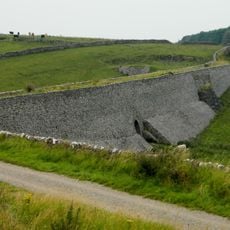
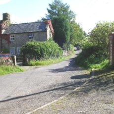
Each of the five valleys has its own parking areas and entry points, allowing flexible visits based on which part you wish to explore. Checking ahead about each valley helps you choose the area that matches your interests and walking ability.
The reserve features unusual streams that behave differently with the seasons: flowing above ground during wet periods but vanishing underground through the limestone during dry spells. These hidden water channels create an ever-changing hydrology that few places on earth display so openly.
The community of curious travelers
AroundUs brings together thousands of curated places, local tips, and hidden gems, enriched daily by 60,000 contributors worldwide.