Dersingham Bog, Protected nature reserve in Norfolk, England.
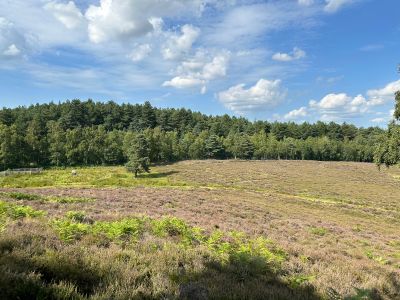
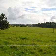
Dersingham Bog is a nature reserve in Norfolk featuring three distinct habitats: acid valley mire, heathland, and woodland spread across roughly 159 hectares. The terrain displays varied elevations and soil types, each supporting different plant and animal communities.
The area originated during the Lower Cretaceous Period, with geological deposits documenting ancient coastal transformations in Norfolk. This ancient history shaped the current landscape form and its ecological character.
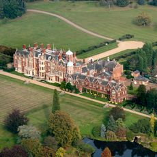
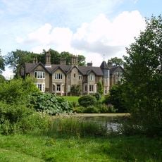
The site is part of the Sandringham Royal Estate and serves as a key conservation area within Norfolk's protected landscape. Visitors experience how wetlands support rare plant and animal communities today.
Access is available via marked walking trails from two parking areas at Wolferton and Scissors Cross with informational signs along the paths. Wear sturdy footwear as the ground becomes wet and slippery, especially after rain.
The site contains the largest acid valley mire in East Anglia and harbors rare species such as bog asphodels, sundew plants, and black darter dragonflies. These specialized conditions develop through water retention and the soil's low acidity level.
The community of curious travelers
AroundUs brings together thousands of curated places, local tips, and hidden gems, enriched daily by 60,000 contributors worldwide.