Draycott Sleights, Site of Special Scientific Interest in Mendip Hills, Somerset, United Kingdom.
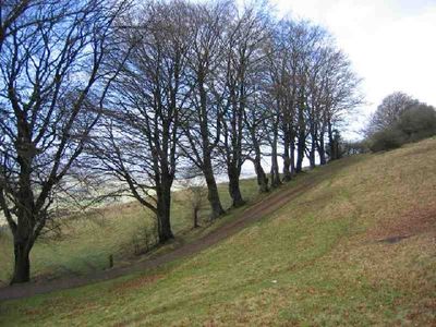
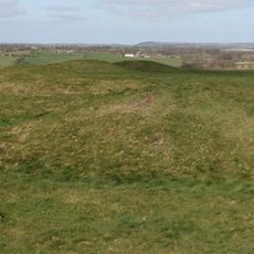
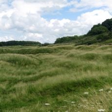
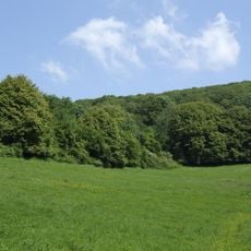
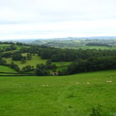
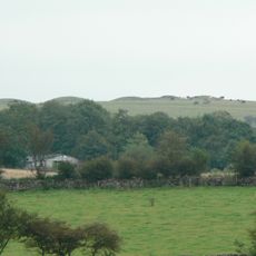
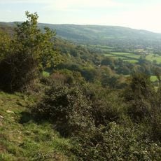
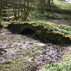
Draycott Sleights encompasses 62 hectares of steep south-west facing limestone slopes featuring species-rich calcareous grassland that supports over 165 flowering plant species and diverse invertebrate communities including rare butterflies and nationally scarce fly species.
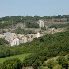
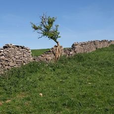
The site was officially designated as a Site of Special Scientific Interest in 1987, with evidence of historical agricultural use, small-scale quarrying, and ochre pits dating from the early 20th century that have contributed to creating diverse microhabitats.
The name 'Sleights' derives from the Saxon word 'Slade' meaning hillside and is pronounced locally as 'Slates', reflecting the area's linguistic heritage and deep connection to traditional land management practices that have shaped the landscape for centuries.
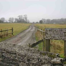
The site offers a 1.7-kilometer circular walking trail marked with green waypoints, accessible from a narrow road where visitors must park considerately due to farm machinery access, with dogs required to be kept on leads to protect wildlife.
Draycott Sleights serves as habitat for three nationally rare butterfly species including Adonis blue, silver-studded blue, and small blue, alongside two nationally scarce fly species and the rare ant species Myrmica schencki, making it exceptionally important for invertebrate conservation.
The community of curious travelers
AroundUs brings together thousands of curated places, local tips, and hidden gems, enriched daily by 60,000 contributors worldwide.