Enable Location

We need your location to show you interesting places around you

Discover nearby places

Find interesting locations and hidden gems around you

Precise directions

Get accurate directions and distances to places

Your location is never shared with other users. It's only used when you tap the location button.

Edinburgh town walls

Log in to your account

Start exploring — it's free

Trusted by 62,838 travelers worldwide

Continue with Google
Continue with Apple
or

We will send you a code to connect

By continuing, you accept our Terms and Conditions and our Privacy Policy

Check your inbox

We've sent a pincode in your inbox. Please enter the code below.

Edinburgh town walls

Edinburgh town walls, Medieval defense walls in Edinburgh, Scotland.

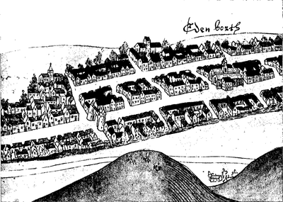
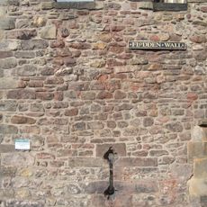
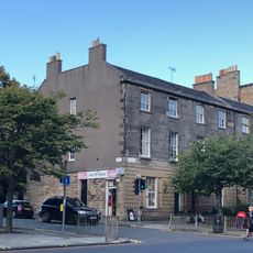
Edinburgh's town walls consist of three separate defensive systems: the King's Wall, Flodden Wall, and Telfer Wall, which enclosed the Old Town. These were constructed in phases over time to defend and control the city's boundaries.

After the Scottish defeat at Flodden in 1513, Edinburgh built new defenses in response to military threat. These fortifications shaped how the city expanded and developed over centuries.

The gates in the walls, known as ports, controlled who entered and left the city while managing trade flow. They were vital checkpoints that shaped daily movement through Edinburgh for centuries.

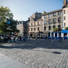
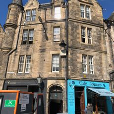
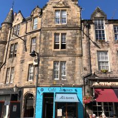
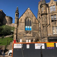
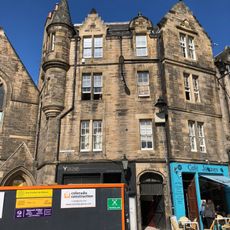
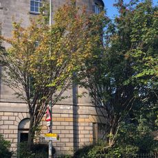
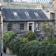
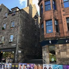
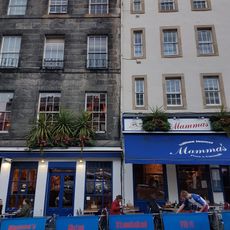
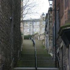
Visitors can explore surviving sections at several locations around the city, particularly at Greyfriars Kirkyard, along Forrest Road, and where Drummond Street meets Pleasance. These spots are easily accessible on foot and show the best-preserved fragments of the old fortifications.

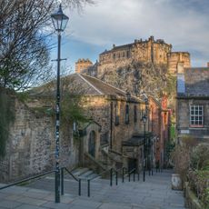
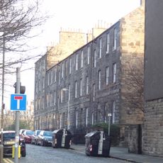
Although built to defend against English invasion, the walls never faced a direct attack after completion. Yet they continue to influence Edinburgh's street layout and urban shape today, revealing how medieval defenses can mold a city's modern form.

The community of curious travelers

AroundUs brings together thousands of curated places, local tips, and hidden gems, enriched daily by 60,000 contributors worldwide.

Start exploring
GPS coordinates
55.94622,-3.19698
Latest update
December 7, 2025 20:25
Around this place
The Vennel Viewpoint Edinburgh Castle
United Kingdom

The Vennel Viewpoint Edinburgh Castle

30 m
Salvation Army Women's Hostel, Grassmarket, Edinburgh
United Kingdom

Salvation Army Women's Hostel, Grassmarket, Edinburgh

73 m
Edinburgh, 18, 20, 22, 24 Grassmarket, The Beehive Inn
United Kingdom

Edinburgh, 18, 20, 22, 24 Grassmarket, The Beehive Inn

143 m
Edinburgh, 8 Grassmarket
United Kingdom

Edinburgh, 8 Grassmarket

127 m
Edinburgh, 10 Grassmarket
United Kingdom

Edinburgh, 10 Grassmarket

126 m
Edinburgh, 4 Grassmarket, Robertson Memorial Mission Church
United Kingdom

Edinburgh, 4 Grassmarket, Robertson Memorial Mission Church

142 m
Edinburgh, 6 Grassmarket
United Kingdom

Edinburgh, 6 Grassmarket

128 m
Edinburgh, 28, 30, 32 Keir Street
United Kingdom

Edinburgh, 28, 30, 32 Keir Street

92 m
Edinburgh, 8 Lauriston Place
United Kingdom

Edinburgh, 8 Lauriston Place

141 m
Edinburgh Town Wall
United Kingdom

Edinburgh Town Wall

78 m
Edinburgh, 38, 40 Lauriston Place
United Kingdom

Edinburgh, 38, 40 Lauriston Place

125 m
Hunter Building
United Kingdom

Hunter Building

138 m
Edinburgh, The Vennel, 1-3 Brown's Place
United Kingdom

Edinburgh, The Vennel, 1-3 Brown's Place

44 m
Edinburgh, 16, 18 Lauriston Place
United Kingdom

Edinburgh, 16, 18 Lauriston Place

143 m
Edinburgh, Grassmarket, The Vennel, Edinburgh Art College Annexe
United Kingdom

Edinburgh, Grassmarket, The Vennel, Edinburgh Art College Annexe

49 m
Edinburgh, 32 - 34 Grassmarket. White Hart Inn
United Kingdom

Edinburgh, 32 - 34 Grassmarket. White Hart Inn

143 m
Edinburgh, 20, 24 Lauriston Place
United Kingdom

Edinburgh, 20, 24 Lauriston Place

136 m
Edinburgh, 26 - 30 Lauriston Place
United Kingdom

Edinburgh, 26 - 30 Lauriston Place

129 m
Edinburgh, 3 - 7 Grassmarket
United Kingdom

Edinburgh, 3 - 7 Grassmarket

109 m
Edinburgh, 9 Grassmarket
United Kingdom

Edinburgh, 9 Grassmarket

100 m
Edinburgh, 37 - 39 Grassmarket, Heriot Bakery
United Kingdom

Edinburgh, 37 - 39 Grassmarket, Heriot Bakery

116 m
Edinburgh, 26 - 28 Grassmarket, The Clydesdale Inn
United Kingdom

Edinburgh, 26 - 28 Grassmarket, The Clydesdale Inn

143 m
Miss Jean Brodie steps
United Kingdom

Miss Jean Brodie steps

44 m
Edinburgh, The Vennel, 2-4 Brown's Place
United Kingdom

Edinburgh, The Vennel, 2-4 Brown's Place

42 m
34 and 36 Lauriston Place, including boundary wall, gate and railings
United Kingdom

34 and 36 Lauriston Place, including boundary wall, gate and railings

125 m
Edinburgh, 30 Grassmarket
United Kingdom

Edinburgh, 30 Grassmarket

143 m
Edinburgh, West Port, Police Call Box
United Kingdom

Edinburgh, West Port, Police Call Box

89 m
Edinburgh, 42,44 Lauriston Place
United Kingdom

Edinburgh, 42,44 Lauriston Place

126 m
Show the full map
« Edinburgh town walls - Medieval defense walls in Edinburgh, Scotland » is provided by Around Us (aroundus.com). Images and texts are derived from Wikimedia project under a Creative Commons license. You are allowed to copy, distribute, and modify copies of this page, under the conditions set by the license, as long as this note is clearly visible.

Discover hidden gems everywhere you go!

From secret cafés to breathtaking viewpoints, skip the crowded tourist spots and find places that match your style. Our app makes it easy with voice search, smart filtering, route optimization, and insider tips from travelers worldwide. Download now for the complete mobile experience.

Around Us App Screenshot

A unique approach to discovering new places

Le Figaro

All the places worth exploring

France Info

A tailor-made excursion in just a few clicks

20 Minutes

Around Us
Travel Guide & Maps
Download

Send to your phone

QR Code
1

Open the camera app on your mobile.

2

Point at the QR code with your camera. A notification will appear.

3

Tap the notification to open the link.