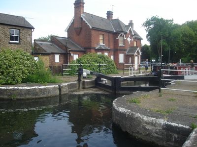
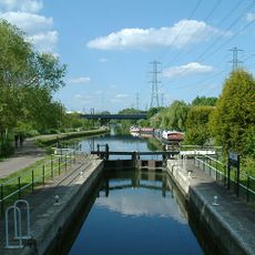
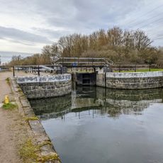
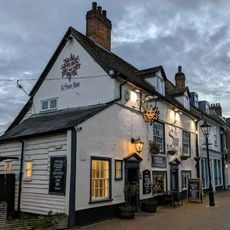
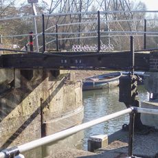
Enfield Lock, Navigation lock in London Borough of Enfield, United Kingdom.
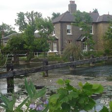
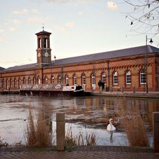
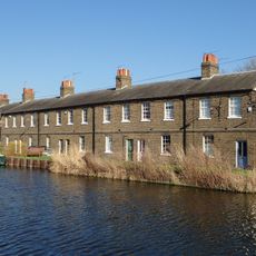
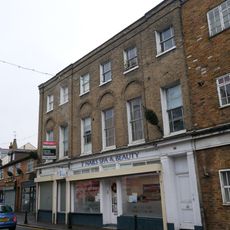
Enfield Lock is a lock on the River Lee Navigation that regulates water levels and allows boats to move between different heights of the waterway. The structure sits within a wider canal system that runs through the area and is connected by walking paths and access routes.
The lock was built as part of the River Lee Navigation system in the late 18th century to move goods between London and surrounding areas. The waterway became crucial to the region's growth during the industrial period.
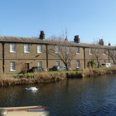
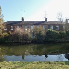
The area around this lock is where locals enjoy walks and watch for wildlife along the water. The paved paths and benches make it a place where people stop to sit and notice the rhythm of the waterway through the seasons.
The lock can be reached via Enfield Lock railway station, which connects directly to the waterside paths. Paved routes run along the waterway and make it easy to explore the area on foot.
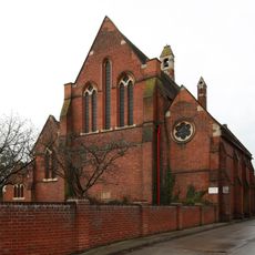
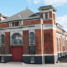
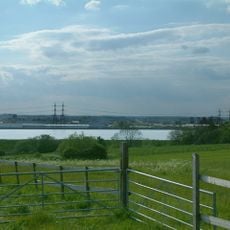
The lock sits within a conservation area that once served as testing grounds for weapons and gunpowder production. This former industrial purpose remains visible in the landscape today.
Location: London Borough of Enfield
GPS coordinates: 51.66730,-0.01821
Latest update: December 14, 2025 12:27
Gilwell Park
2.4 km
Gilwell Oak
2.3 km
Bell Inn
1.7 km
St James' Church, Enfield Highway
2.4 km
The White Horse Public House
2 km
Rammey Marsh Lock
1.3 km
Waltham Town Lock
2.3 km
Newmans Weir
656 m
Waltham Abbey Church
2.5 km
Eleanor Cross, Waltham Cross
2.3 km
The White House, Gilwell Park
2.4 km
Embassy Cinema
2.2 km
The Sun Inn
2.5 km
Bridge At Rammey Lock
1.3 km
The Welsh Harp Public House
2.4 km
Enfield Island Village Library
161 m
St George's Church
1.6 km
Water Tower House At King George Pumping Station
505 m
Machine Shop and attached range to west at Royal Ordnance Factory
157 m
4-14, Government Row
154 m
18-28, Government Row
259 m
Pump House At King George Pumping Station
488 m
Netherhouse Farmhouse
1.2 km
31, Highbridge Street
2.4 km
23, Highbridge Street
2.4 km
71-76, Government Row
711 m
20th Battalion Imperial Yeomanry Rough Riders Boer War Memorial, Waltham Abbey
2.5 km
King George V Reservoir
1.9 kmVisited this place? Tap the stars to rate it and share your experience / photos with the community! Try now! You can cancel it anytime.
Discover hidden gems everywhere you go!
From secret cafés to breathtaking viewpoints, skip the crowded tourist spots and find places that match your style. Our app makes it easy with voice search, smart filtering, route optimization, and insider tips from travelers worldwide. Download now for the complete mobile experience.
A unique approach to discovering new places❞
— Le Figaro
All the places worth exploring❞
— France Info
A tailor-made excursion in just a few clicks❞
— 20 Minutes